LOCATION.--Lat 43°14'10.3", long
77°23'26.9" referenced to North American Datum of
1983, Monroe County, NY, Hydrologic Unit 04140101, near
Webster.
WELL CHARACTERISTICS.--Depth 30 ft. Upper casing
diameter 3 in; top of first opening 13.8 ft, bottom of last
opening 30 ft.
DATUM.--Land-surface datum is 384.99 ft above North
American Vertical Datum of 1988. Measuring point: Top of
casing, 3.19 ft above land-surface datum, Aug. 15, 2019 to
present; Top of well casing, 3.19 ft above land-surface datum,
Aug. 15, 2019 to present.
PERIOD OF RECORD.--April 2017 to current year.
GAGE.--Water-stage recorder--15-minute; periodic manual
measurements made by USGS personnel.
REMARKS.--Satellite water-level telemeter at
station.
EXTREMES FOR PERIOD OF RECORD.--Highest water level,
0.04 ft above land-surface datum, Nov. 27, 2018, Feb. 11,
2022; lowest water level, 8.49 ft below land-surface datum,
Aug. 22, 23, 2022.

 Site Information
 WaterAlert – get an
email or text (SMS) alert based on your chosen threshold.
WaterAlert – get an
email or text (SMS) alert based on your chosen threshold.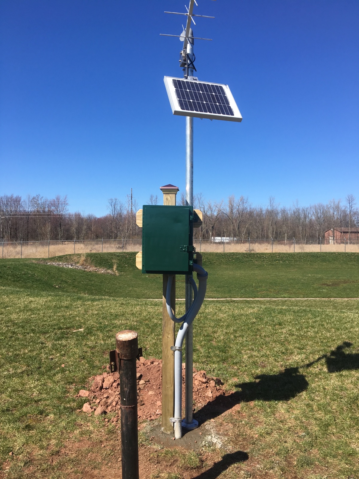 Station image