PROVISIONAL DATA SUBJECT TO REVISION
Click to hidestation-specific text
NOTICE (07/05/2022) -- This site will
be discontinued on September 30, 2022. Although historic data will
remain accessible, no new data will be collected after this date unless
one or more new funding partners are found. Users who are willing to
contribute funding to continue operation of this streamgage should
contact Rob Breault of the USGS New York Water Science Center at
518-285-5600 or dc_ny@usgs.gov.
 Site Information
 Site Information
LOCATION.--Lat 40°50'59.7", long
73°13'27.2" referenced to North American Datum of
1983, Suffolk County, NY, Hydrologic Unit 02030201, on left
bank 0.5 mi downstream from New Mill Pond, 1.0 mi southwest of
Smithtown, and 1.5 mi southwest of Village of Smithtown
Branch.
DRAINAGE AREA.--27 mi².
PERIOD OF RECORD.--October 1943 to September 2019, October 2020 to October 2022 (discontinued).
REVISIONS HISTORY.--WSP 1141: Drainage area.
GAGE.--Water-stage recorder and concrete control. Datum of gage is 9.59 ft above NGVD of 1929 and 8.52 ft above NAVD of 1988 (VERTCON).
REMARKS.--Occasional regulation caused by cleaning of fish screens and trash racks at outlet of New Mill Pond on main stream and ponds on tributaries above station.
Water Years 2014-19, 2021-22: Records good except those for estimated daily discharges, which are fair.
EXTREMES FOR PERIOD OF RECORD.--Maximum discharge, 952 ft³/s, Jan. 22, 1979, gage height, 3.22 ft, result of dam failure; minimum discharge, 16 ft³/s, June 5, 6, 1967; minimum gage height, 0.46 ft, Feb. 9, 1951.
PERIOD OF DAILY RECORD1.--WATER TEMPERATURE: April 2021 to October 2022. SPECIFIC CONDUCTANCE: April 2021 to October 2022. DISSOLVED OXYGEN: April 2021 to October 2022.
EXTREMES FOR PERIOD OF DAILY RECORD1.--
1 Water-Quality Records
DRAINAGE AREA.--27 mi².
PERIOD OF RECORD.--October 1943 to September 2019, October 2020 to October 2022 (discontinued).
REVISIONS HISTORY.--WSP 1141: Drainage area.
GAGE.--Water-stage recorder and concrete control. Datum of gage is 9.59 ft above NGVD of 1929 and 8.52 ft above NAVD of 1988 (VERTCON).
REMARKS.--Occasional regulation caused by cleaning of fish screens and trash racks at outlet of New Mill Pond on main stream and ponds on tributaries above station.
Water Years 2014-19, 2021-22: Records good except those for estimated daily discharges, which are fair.
EXTREMES FOR PERIOD OF RECORD.--Maximum discharge, 952 ft³/s, Jan. 22, 1979, gage height, 3.22 ft, result of dam failure; minimum discharge, 16 ft³/s, June 5, 6, 1967; minimum gage height, 0.46 ft, Feb. 9, 1951.
PERIOD OF DAILY RECORD1.--WATER TEMPERATURE: April 2021 to October 2022. SPECIFIC CONDUCTANCE: April 2021 to October 2022. DISSOLVED OXYGEN: April 2021 to October 2022.
EXTREMES FOR PERIOD OF DAILY RECORD1.--
WATER TEMPERATURE: Maximum, 27.2°C, June 30, 2021; minimum 0.1°C, Jan. 15, 2022.
SPECIFIC CONDUCTANCE: Maximum, 430 uS/cm @ 25°C, Feb. 10, 2022; minimum, 120 uS/cm @ 25°C, Sept. 2, 2021.
DISSOLVED OXYGEN: Maximum, 14.9 mg/L, Jan. 16, 2022 ; minimum, 6.3 mg/L Sept. 22, 2022.
1 Water-Quality Records
Summary of all available data for this site
Instantaneous-data availability statement
 WaterAlert – get an
email or text (SMS) alert based on your chosen threshold.
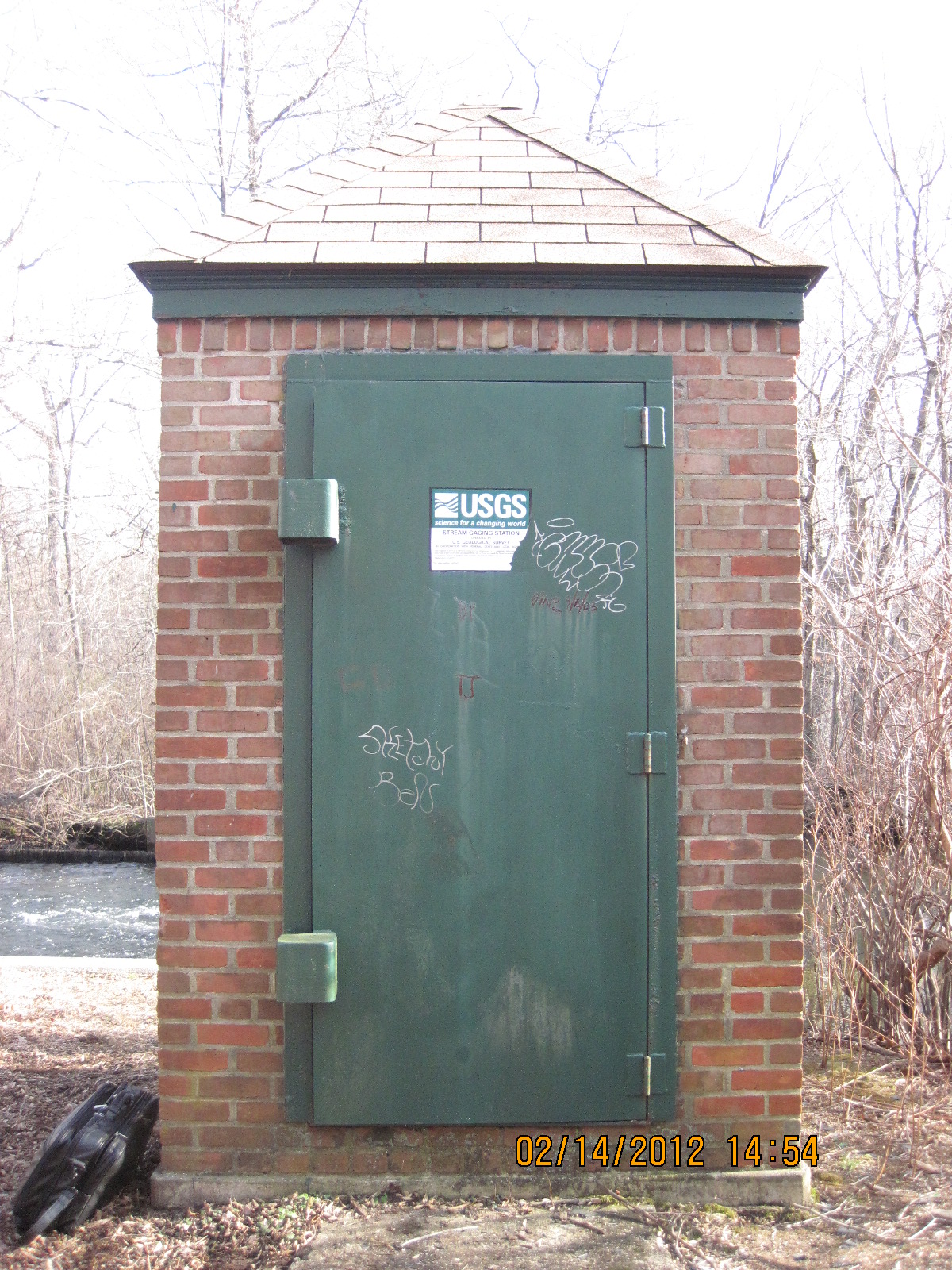
 Station image