PROVISIONAL DATA SUBJECT TO REVISION
Click to hidestation-specific text
Funding for this site is provided by:
 Site Information
LOCATION.--Lat 42°49'26", long
73°39'45" referenced to North American Datum of 1927,
Saratoga County, NY, Hydrologic Unit 02020003, at the Lock 1C
dam and 3.8 mi downstream from dam at Lock 2C Champlain (Barge)
Canal, and 0.4 mi downstream from gage 01335754.
DRAINAGE AREA.--4,606 mi².
DRAINAGE AREA.--4,606 mi².
Summary of all available data for this site
Instantaneous-data availability statement
 WaterAlert – get an
email or text (SMS) alert based on your chosen threshold.
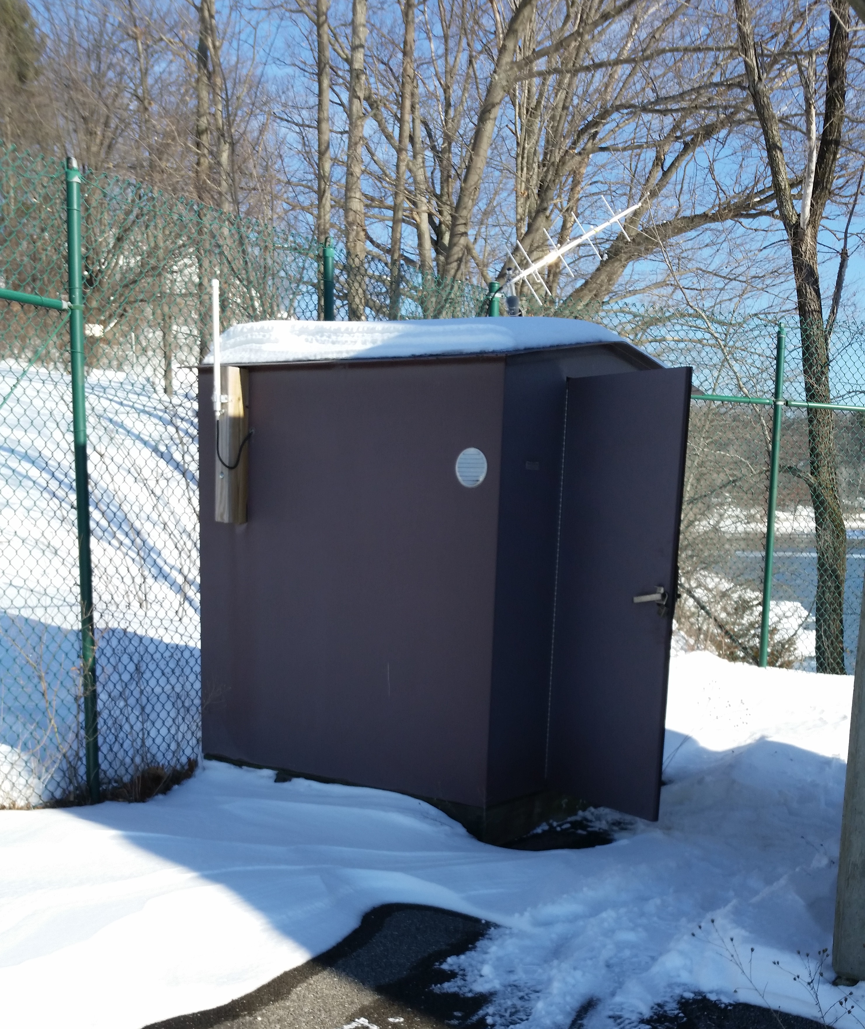
 Station image