PROVISIONAL DATA SUBJECT TO REVISION
Click to hidestation-specific text
Funding for this site is provided by:
 Site Information
LOCATION.--Lat 40°58'46.9", long
72°33'17.2" referenced to North American Datum of
1983, Suffolk County, NY, Hydrologic Unit 02030202, at eastern
shore of Laurel Lake, at end of Lake Way, 1.5 mi southwest of
Mattituck.
PERIOD OF RECORD.--October 2004 to current year.
GAGE.--Water-stage recorder. Datum of gage is NGVD of 1929. To convert elevations to NAVD of 1988, subtract 0.94 ft (VERTCON).
EXTREMES FOR PERIOD OF RECORD.--Maximum elevation, 9.83 ft, Apr. 27, 28, 2010; minimum elevation, 4.37 ft, Sept. 18, 19, 2016.
 WaterAlert – get an
email or text (SMS) alert based on your chosen threshold.
WaterAlert – get an
email or text (SMS) alert based on your chosen threshold.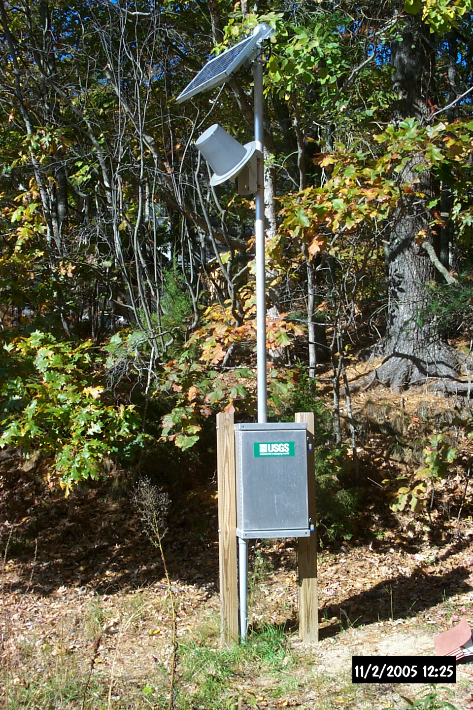 Station image
Summary of all available data for this site
Instantaneous-data availability statement

