PROVISIONAL DATA SUBJECT TO REVISION
Click to hidestation-specific text
 Site Information
LOCATION.--Lat 42°45'38.1", long
74°15'17.2" referenced to North American Datum of
1983, Schenectady County, NY, Hydrologic Unit 02020005, at
bridge on State Highway 20 in Esperance, 17.6 mi above
mouth.
DRAINAGE AREA.--870 mi².
PERIOD OF RECORD.--Miscellaneous measurements--2011. December 2017 to current year (gage height only).
GAGE.--Water-stage recorder and crest-stage gage. Datum of gage is 551.31 ft above NAVD of 1988.
REMARKS.--Flow regulated to some extent by Blenheim-Gilboa Pumped Storage Project about 37 mi upstream. Entire flow, runoff from 315 mi², except for periods of spill, diverted from Schoharie Reservoir through Shandaken Tunnel into Esopus Creek upstream from Ashokan Reservoir for water supply of City of New York. For days of reservoir outflow greater than 10 ft³/s, see station 01350101.
EXTREMES FOR PERIOD OF RECORD.--Maximum gage height, 17.85 ft, Dec. 25, 2020; minimum gage height, about 0.76 ft, Aug. 16, 2022.
EXTREMES OUTSIDE PERIOD OF RECORD.--Flood of April 1987 reached a stage of 24.03 ft, from floodmark. Flood of January 1996 reached a stage of 26.50 ft, from floodmark. Flood of August 2011 reached a stage of 33.70 ft, from floodmark.
 WaterAlert – get an
email or text (SMS) alert based on your chosen threshold.
WaterAlert – get an
email or text (SMS) alert based on your chosen threshold.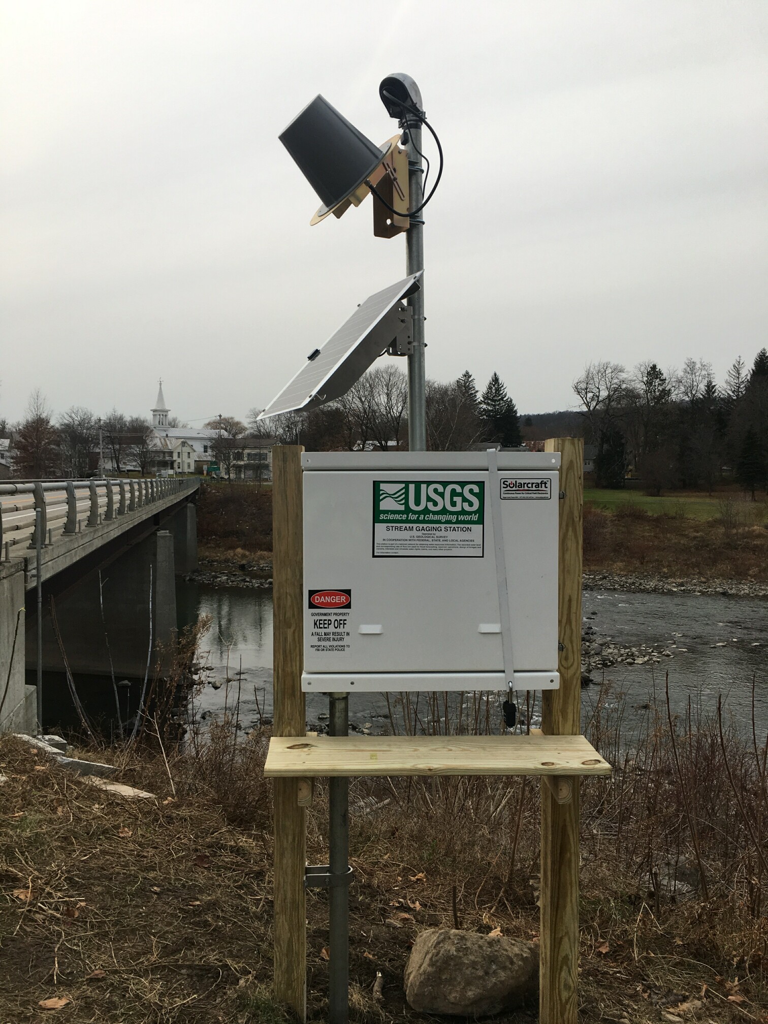 Station image
Summary of all available data for this site
Instantaneous-data availability statement
