PROVISIONAL DATA SUBJECT TO REVISION
Click to hidestation-specific text
Funding for this site is provided by:
 Site Information
LOCATION.--Lat 42°45'08", long
73°41'20" referenced to North American Datum of 1983,
Albany County, NY, Hydrologic Unit 02020003, on right bank at
Green Island, just upstream from Troy Lock and Dam, and 0.5 mi
downstream from 5th branch Mohawk River.
DRAINAGE AREA.--8,090 mi². approximately (including that above site of former auxiliary gage).
PERIOD OF RECORD.--February 1946 to current year (October 1997 to September 2000, discharges only for days when inflatable rubber dam was considered to have been collapsed; see REMARKS).
REVISIONS HISTORY.--2014. 2016: Datum.
GAGE.--Water-stage recorder. Datum of gage is 0.18 ft below NGVD of 1929 and 0.92 ft below NAVD of 1988. From July 1, 1946 to Mar. 12, 1962, auxiliary water-stage recorder on bypass channel at datum 10.59 ft higher. Power transducer on each turbine in powerplant. Since Oct. 1, 2008, auxiliary acoustic velocity meter about 1,600 ft upstream from base gage.
COOPERATION.--Information on turbine operation provided by Green Island Power Authority.
REMARKS.--Records include flow over spillway, flow through lock, and flow through powerplant. Powerplant, located on the right bank just downstream from gage, was inoperative from Nov. 20, 1960 to Feb. 23, 1971. An inflatable rubber dam was installed on the spillway during August 1991 and became inoperative in August 2011. August 1991 through September 1997, and since October 2000, estimated water-discharge data based on records for Hudson River above Lock 1 near Waterford (station 01335754) and Mohawk River at Cohoes (station 01357500). October 1997 to September 2000, discharges only for days when inflatable rubber dam was considered to have been collapsed.
Water Years 2014-22: Records good except those for estimated daily discharges, which are poor.
EXTREMES FOR PERIOD OF RECORD.--Maximum discharge, 181,000 ft³/s, Dec. 31, 1948, Aug. 29, 2011, gage height, 27.05 ft; minimum discharge not determined; minimum gage height, 13.68 ft, July 6, 1981, when pool was lowered for inspection of flashboards.
EXTREMES OUTSIDE PERIOD OF RECORD.--Flood of Mar. 19, 1936, reached a stage of 29.48 ft at gage on opposite bank, from information by Corps of Engineers (discharge, 215,000 ft³/s). Flood of Mar. 28, 1913, prior to construction of Sacandaga Reservoir and Troy lock and dam, reached a stage about 0.2 ft higher upstream from former dam near same site. Downstream from dams, flood in 1913 was about 3.3 ft higher than flood in 1936, from information by Corps of Engineers.
 WaterAlert – get an
email or text (SMS) alert based on your chosen threshold.
WaterAlert – get an
email or text (SMS) alert based on your chosen threshold.
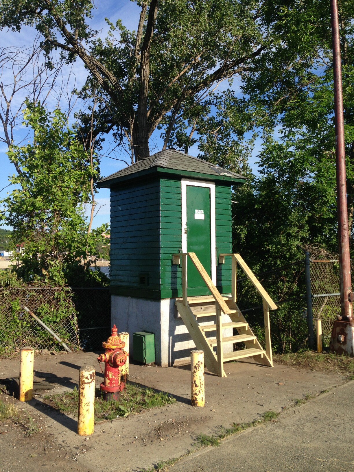 Station image
Summary of all available data for this site
Instantaneous-data availability statement

