PROVISIONAL DATA SUBJECT TO REVISION
Click to hidestation-specific text
Funding for this site is provided by:
 Site Information
LOCATION.--Lat 42°27'02.3", long
79°21'01.6" referenced to North American Datum of
1983, Chautauqua County, NY, Hydrologic Unit 04120101, 60 ft
downstream of bridge on Van Buren Road (Matteson Street), 0.8
mi northwest of Fredonia corporate boundary, and 1.2 mi
upstream from Beaver Creek.
DRAINAGE AREA.--32.9 mi².
PERIOD OF RECORD.--Miscellaneous measurements--1962-63, annual maximum only--1987-2017. August 2017 to current year.
REVISIONS HISTORY.--WDR NY-89-3: 1987 (gage height). 2015: 1991, 1996-97, 2002-07, 2009, 2011, 2013-14 (M). Gage height and discharge for the period Feb. 17, to May 4, 2022, were revised on Feb. 1, 2023, based on changes to a gage height correction.
GAGE.--Water-stage recorder and crest-stage gage. Datum of gage is 637.01 ft above NAVD of 1988. Prior to Aug. 10, 2017, crest-stage gage at site 100 ft upstream and at datum 3.00 ft higher.
REMARKS.--Water Years 2017-22: Records fair except those for estimated daily discharges, which are poor.
EXTREMES FOR PERIOD OF RECORD.--Maximum discharge, 7,080 ft³/s, Nov. 5, 2017, gage height, 10.59 ft, from rating curve extended above 2,700 ft³/s on basis of slope-area measurement at 5,380 ft³/s; minimum discharge, 2.18 ft³/s, Aug. 24, 25, 2020, gage height, 2.25 ft; minimum gage height, 1.79 ft, Aug. 15, 16, 17, 2017.
EXTREMES OUTSIDE PERIOD OF RECORD.--Flood of Aug. 7, 1979, reached an estimated discharge of 12,000 ft³/3, from U.S. Army Corps of Engineers (US Geological Survey WRI 83-4211), at site 1.7 mi upstream, drainage area, 30.6 mi². Flood of Aug. 1, 1986, reached an estimated discharge of 9,000 ft³/s.
 WaterAlert – get an
email or text (SMS) alert based on your chosen threshold.
WaterAlert – get an
email or text (SMS) alert based on your chosen threshold.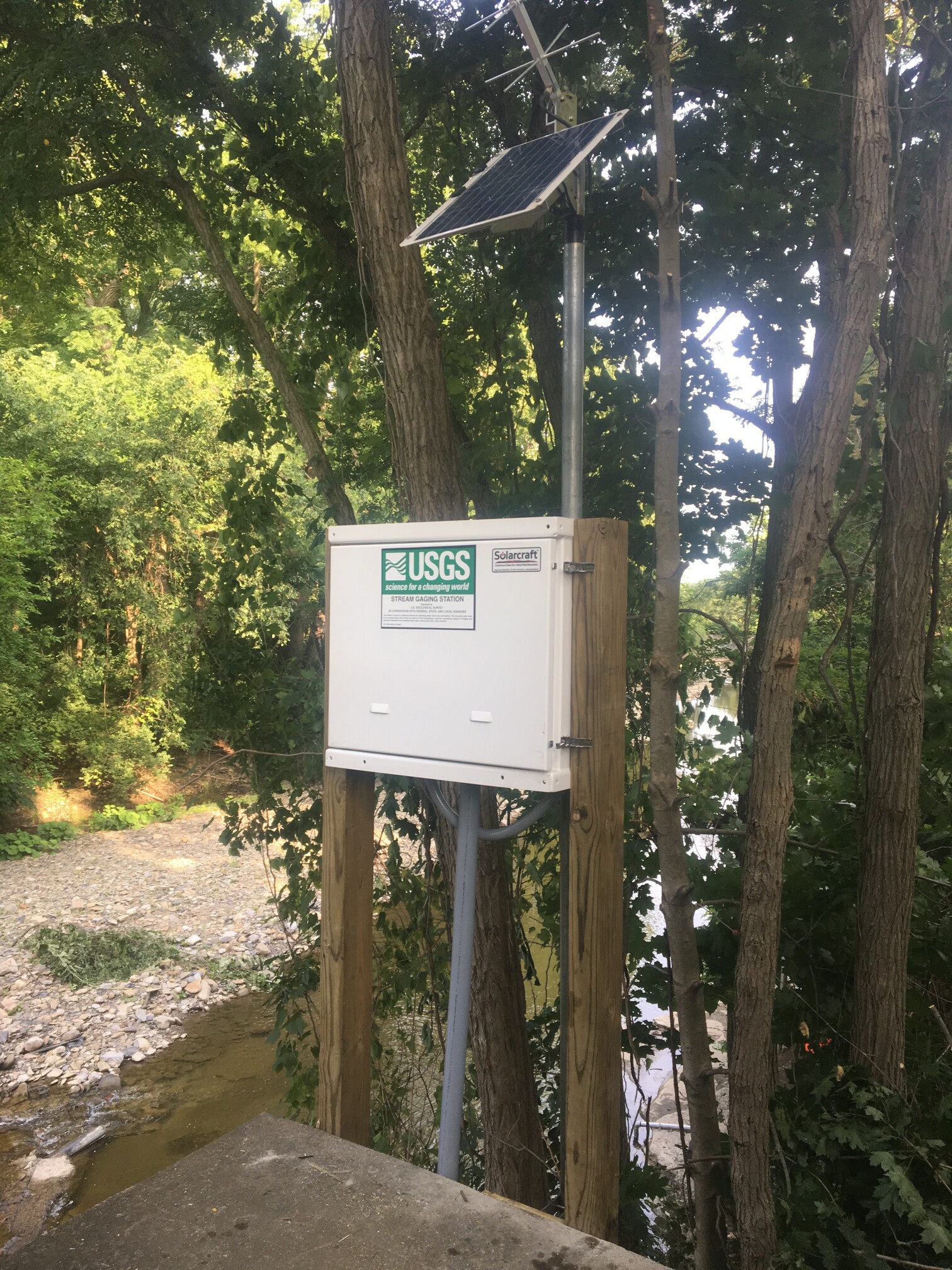 Station image
Summary of all available data for this site
Instantaneous-data availability statement

