PROVISIONAL DATA SUBJECT TO REVISION
Click to hidestation-specific text
Funding for this site is provided by:
 Site Information
LOCATION.--Lat 42°56'01.8", long
78°54'18.0" referenced to North American Datum of
1983, Erie County, NY, Hydrologic Unit 04120104, at Black Rock
Lock adjacent to U.S. Army Corps of Engineers installation at
foot of Hamilton Street, Buffalo and 0.2 mi downstream from
International railroad bridge.
DRAINAGE AREA.--263,700 mi².
PERIOD OF RECORD.--October 1984 to March 1997, November 1998 to current year.
GAGE.--Water stage recorder. Datum of gage is International Great Lakes Datum (IGLD) of 1985. Prior to Oct. 1, 1991, datum of gage was IGLD of 1955, 0.57 ft lower (previously published as 0.67 ft lower).
EXTREMES FOR PERIOD OF RECORD.--Maximum elevation, 579.83 ft, Dec. 2, 1985, present datum; minimum elevation, 566.44 ft, Feb. 2, 2011, result of seiche.
 WaterAlert – get an
email or text (SMS) alert based on your chosen threshold.
WaterAlert – get an
email or text (SMS) alert based on your chosen threshold.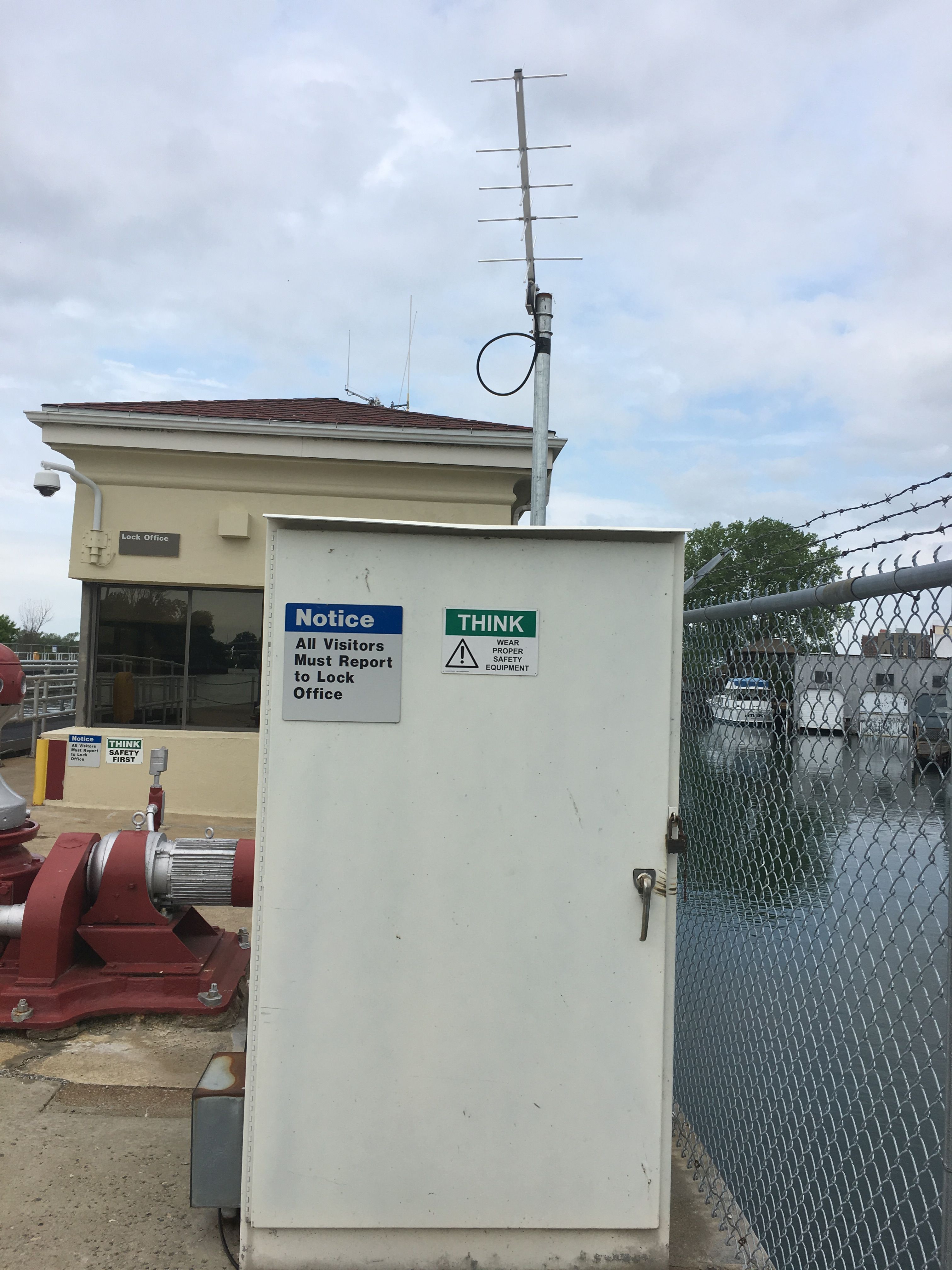 Station image
Summary of all available data for this site
Instantaneous-data availability statement
