PROVISIONAL DATA SUBJECT TO REVISION
Click to hidestation-specific text
Funding for this site is provided by:
 Site Information
LOCATION.--Lat 43°22'31.0", long
78°29'11.1" referenced to North American Datum of
1983, Niagara County, NY, Hydrologic Unit 04150200, on dock in
Golden Hill State Park, 4.6 miles northeast of
Barker.
PERIOD OF RECORD.--October 2019 to current year.
GAGE.--Water-stage recorder. Datum of gage is IGLD of 1985.
EXTREMES FOR PERIOD OF RECORD.--Maximum elevation, about 247.60 ft, May 2, 2020, affected by wind; minimum elevation, 243.17 ft, Dec. 23, 2022, affected by wind.
EXTREMES OUTSIDE PERIOD OF RECORD.--Flood in May 2017 reached an elevation of 249.18 ft above IGLD of 1985, from floodmark.
 WaterAlert – get an
email or text (SMS) alert based on your chosen threshold.
WaterAlert – get an
email or text (SMS) alert based on your chosen threshold.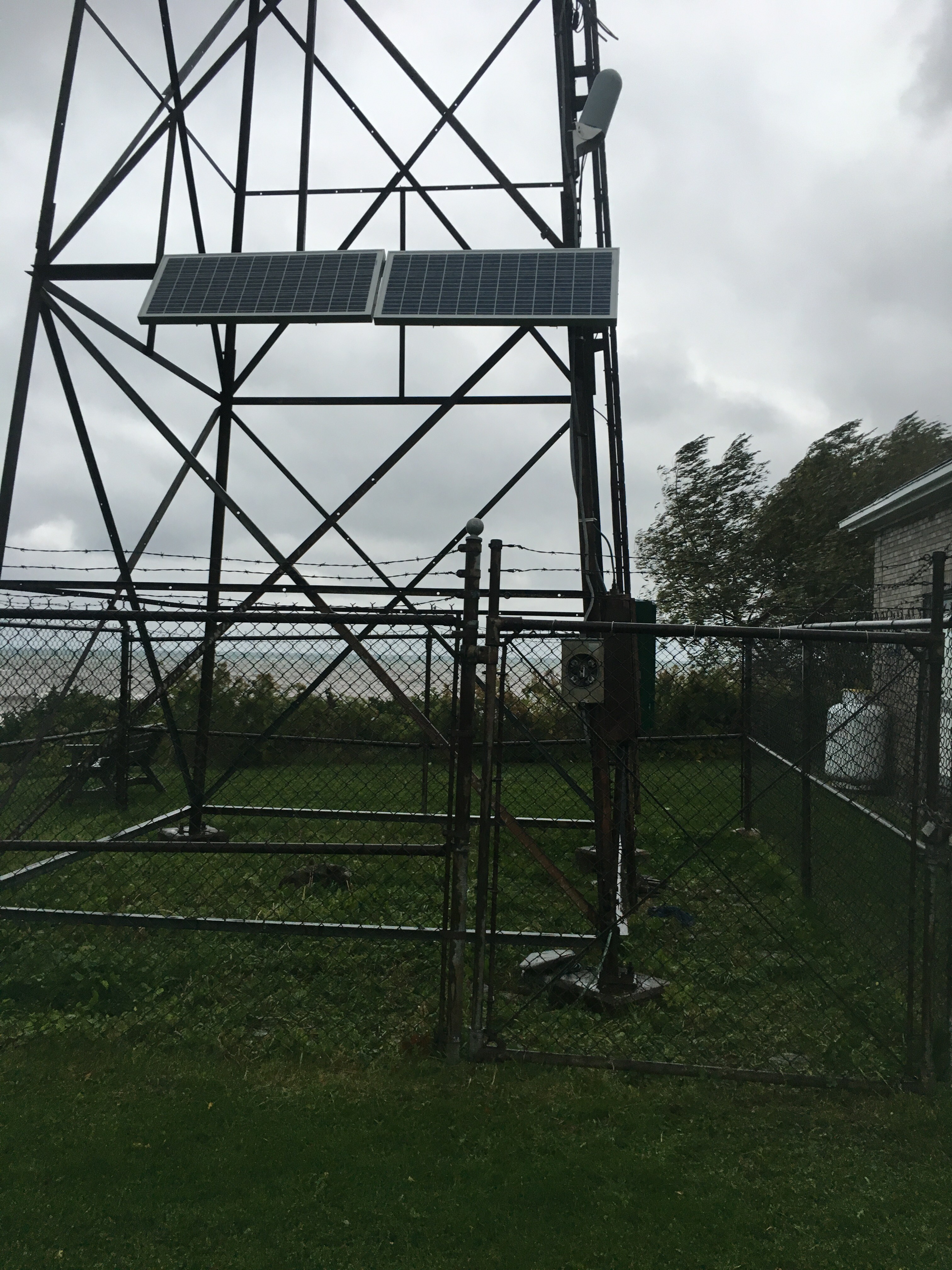 Station image
Summary of all available data for this site
Instantaneous-data availability statement
