PROVISIONAL DATA SUBJECT TO REVISION
Click to hidestation-specific text
Funding for this site is provided by:
 Site Information
LOCATION.--Lat 43°21'26.73", long
77°55'28.57" referenced to North American Datum of
1983, Monroe County, NY, Hydrologic Unit 04150200, at U.S.
Coast Guard Auxiliary Station, 3.8 mi north of Hamlin.
PERIOD OF RECORD.--October 2019 to current year.
GAGE.--Water-stage recorder. Datum of gage is IGLD of 1985.
EXTREMES FOR PERIOD OF RECORD.--Maximum elevation, 247.77 ft above IGLD of 1985, May 2, 2020; minimum elevation, 243.92 ft above IGLD of 1985, Nov. 15, 2020, Nov. 6, 2022.
PERIOD OF RECORD.--October 2019 to current year.
GAGE.--Water-stage recorder. Datum of gage is IGLD of 1985.
EXTREMES FOR PERIOD OF RECORD.--Maximum elevation, 247.77 ft above IGLD of 1985, May 2, 2020; minimum elevation, 243.92 ft above IGLD of 1985, Nov. 15, 2020, Nov. 6, 2022.
 WaterAlert – get an
email or text (SMS) alert based on your chosen threshold.
WaterAlert – get an
email or text (SMS) alert based on your chosen threshold.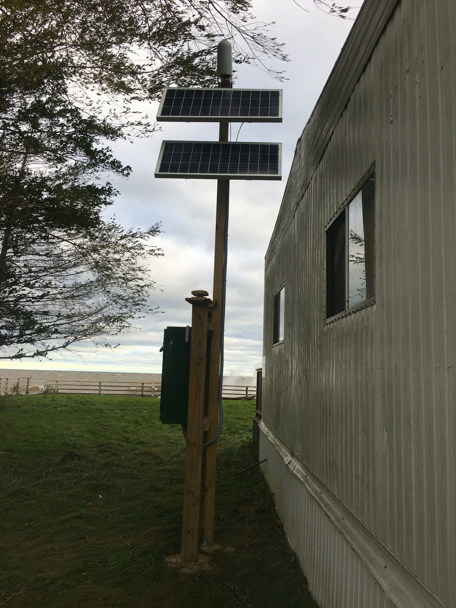 Station image
Summary of all available data for this site
Instantaneous-data availability statement
