PROVISIONAL DATA SUBJECT TO REVISION
Click to hidestation-specific text
Funding for this site is provided by:
 Site Information
LOCATION.--Lat 42°47'39.3", long
77°43'14.7" referenced to North American Datum of
1983, Livingston County, NY, Hydrologic Unit 04130003, on west
shore of Conesus Lake at Geneseo Water Works pumping station,
300 ft east of State Highway 256, and 3.0 mi south of
Lakeville.
DRAINAGE AREA.--69.8 mi².
PERIOD OF RECORD.--January 1930 to current year (daily gage heights prior to October 1975, elevations thereafter). January 1930 to June 1963 in files of village of Geneseo.
REVISIONS HISTORY.--WDR NY-82-3: Drainage area.
GAGE.--Water-stage recorder. Datum of gage is NGVD of 1929. To convert elevations to NAVD of 1988, subtract 0.52 ft. Prior to Oct. 1, 1970, nonrecording gage at site 200 ft downstream at datum 796.59 ft higher. Oct. 1, 1970 to Sept. 30, 1971, at datum 800.00 ft higher.
REMARKS.--Lake elevation regulated by gates at outlet. Area of water surface, 5.08 mi². Daily average of about 2 ft³/s diverted from lake for water supply for Avon, Geneseo, and Lakeville Water District.
EXTREMES FOR PERIOD OF RECORD.--Maximum elevation, 822.50 ft, present datum, June 24, 1972; minimum elevation, 816.11 ft, Dec. 22, 24, 1988.
 WaterAlert – get an
email or text (SMS) alert based on your chosen threshold.
WaterAlert – get an
email or text (SMS) alert based on your chosen threshold.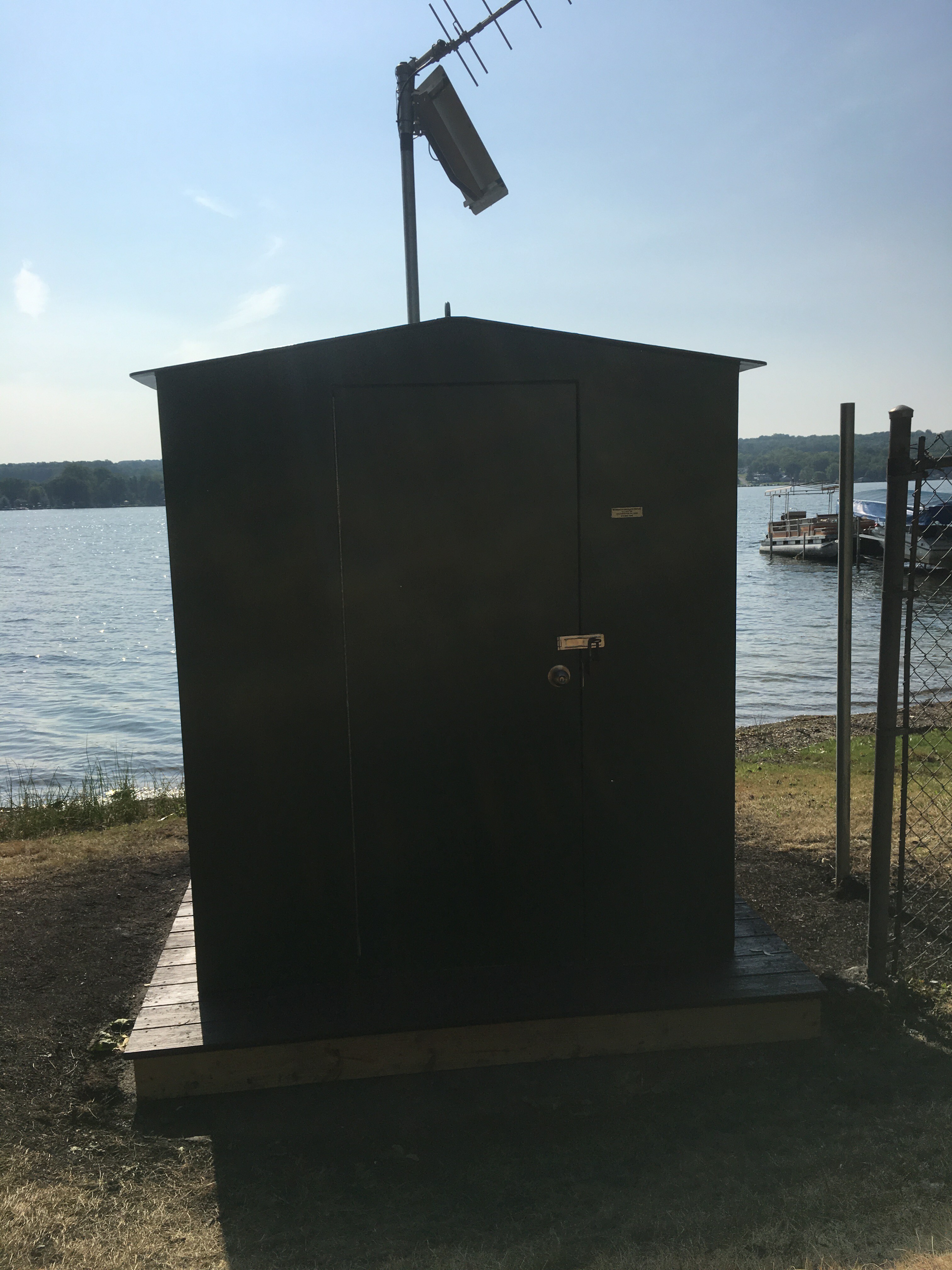 Station image
Summary of all available data for this site
Instantaneous-data availability statement

