PROVISIONAL DATA SUBJECT TO REVISION
Click to hidestation-specific text
Funding for this site is provided by:
 Site Information
LOCATION.--Lat 43°21'01.14", long
76°42'32.20" referenced to North American Datum of
1983, Cayuga County, NY, Hydrologic Unit 04150200, at U.S.
Coast Guard Warning Beacon at outer edge of the western pier at
the entrance to Little Sodus Bay, 1.5 mi north of Fair
Haven.
PERIOD OF RECORD.--October 2019 to current year.
GAGE.--Water-stage recorder. Datum of gage is IGLD of 1985.
EXTREMES FOR PERIOD OF RECORD.--Maximum elevation, 247.70 ft, Apr. 21, 2020, affected by wind; minimum elevation, 242.71 ft, Dec. 19, 2023, affected by wind.
PERIOD OF RECORD.--October 2019 to current year.
GAGE.--Water-stage recorder. Datum of gage is IGLD of 1985.
EXTREMES FOR PERIOD OF RECORD.--Maximum elevation, 247.70 ft, Apr. 21, 2020, affected by wind; minimum elevation, 242.71 ft, Dec. 19, 2023, affected by wind.
 WaterAlert – get an
email or text (SMS) alert based on your chosen threshold.
WaterAlert – get an
email or text (SMS) alert based on your chosen threshold.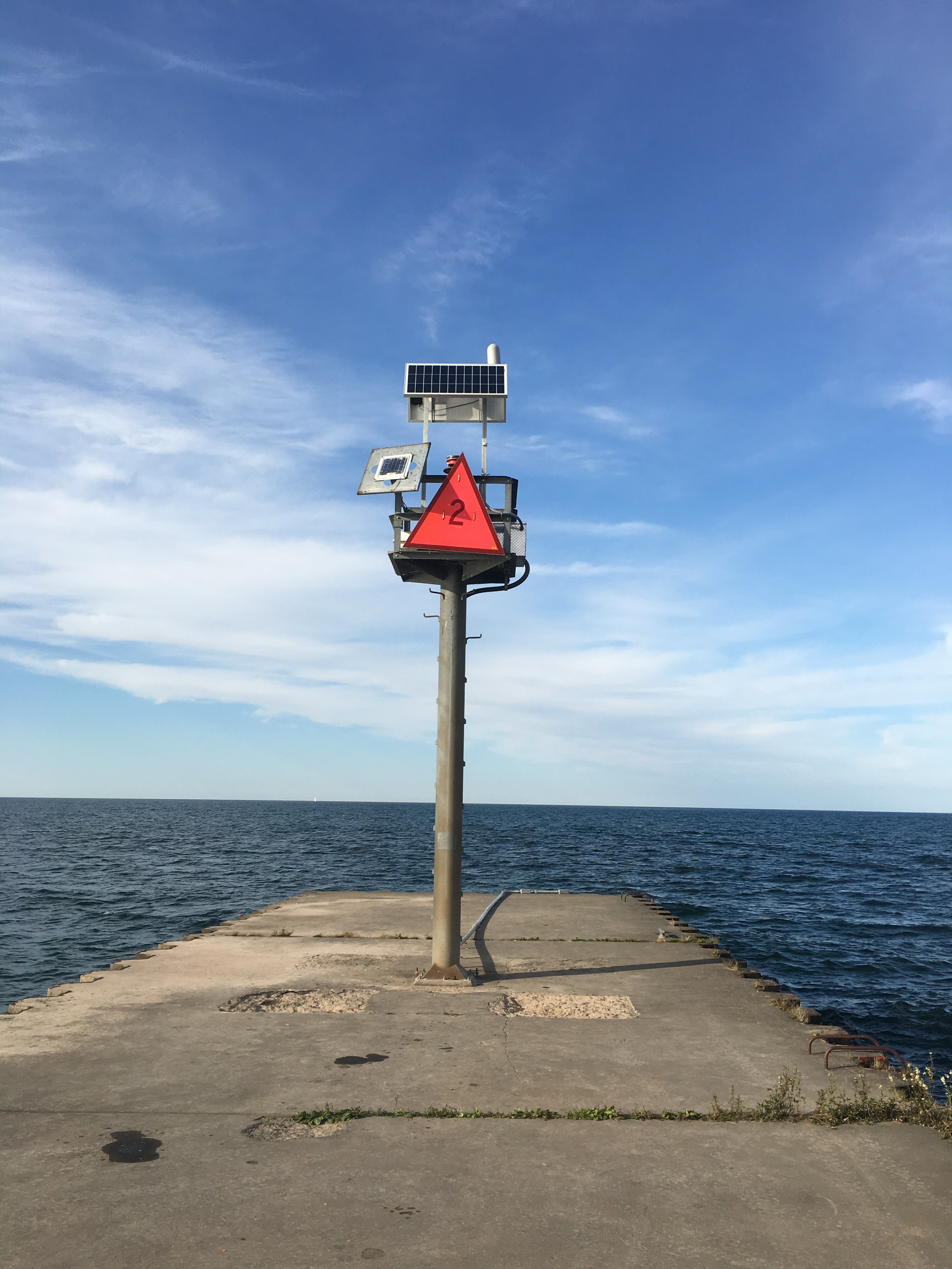 Station image
Summary of all available data for this site
Instantaneous-data availability statement
