PROVISIONAL DATA SUBJECT TO REVISION
Click to hidestation-specific text
Funding for this site is provided by:
 Site Information
LOCATION.--Lat 43°06'03.0", long
76°12'41.1" referenced to North American Datum of
1983, Onondaga County, NY, Hydrologic Unit 04140201, on north
shore of Onondaga Lake at Onondaga Park Marina basin, 300 ft
southwest of Onondaga Lake Parkway, 0.2 mi south of Liverpool,
and 1.8 mi upstream from outlet of lake.
DRAINAGE AREA.--285 mi².
PERIOD OF RECORD.--October 1970 to current year. Elevation records, at Barge Canal datum, since February 1927 collected by, and in files of, New York State Department of Transportation at Syracuse.
GAGE.--Water-stage recorder. Datum of gage is NGVD of 1929. To convert elevations to NAVD of 1988, subtract 0.59 ft. Prior to June 2023, at site 550 ft east at same datum.
REMARKS.--Lake elevation regulated by operation of Erie (Barge) Canal. Area of water surface, 4.60 mi².
EXTREMES FOR PERIOD OF RECORD.--Maximum elevation, 369.78 ft, Apr. 26, 27, 1993; minimum elevation, 361.54 ft, Mar. 13, 1978.
 WaterAlert – get an
email or text (SMS) alert based on your chosen threshold.
WaterAlert – get an
email or text (SMS) alert based on your chosen threshold.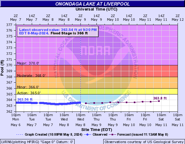
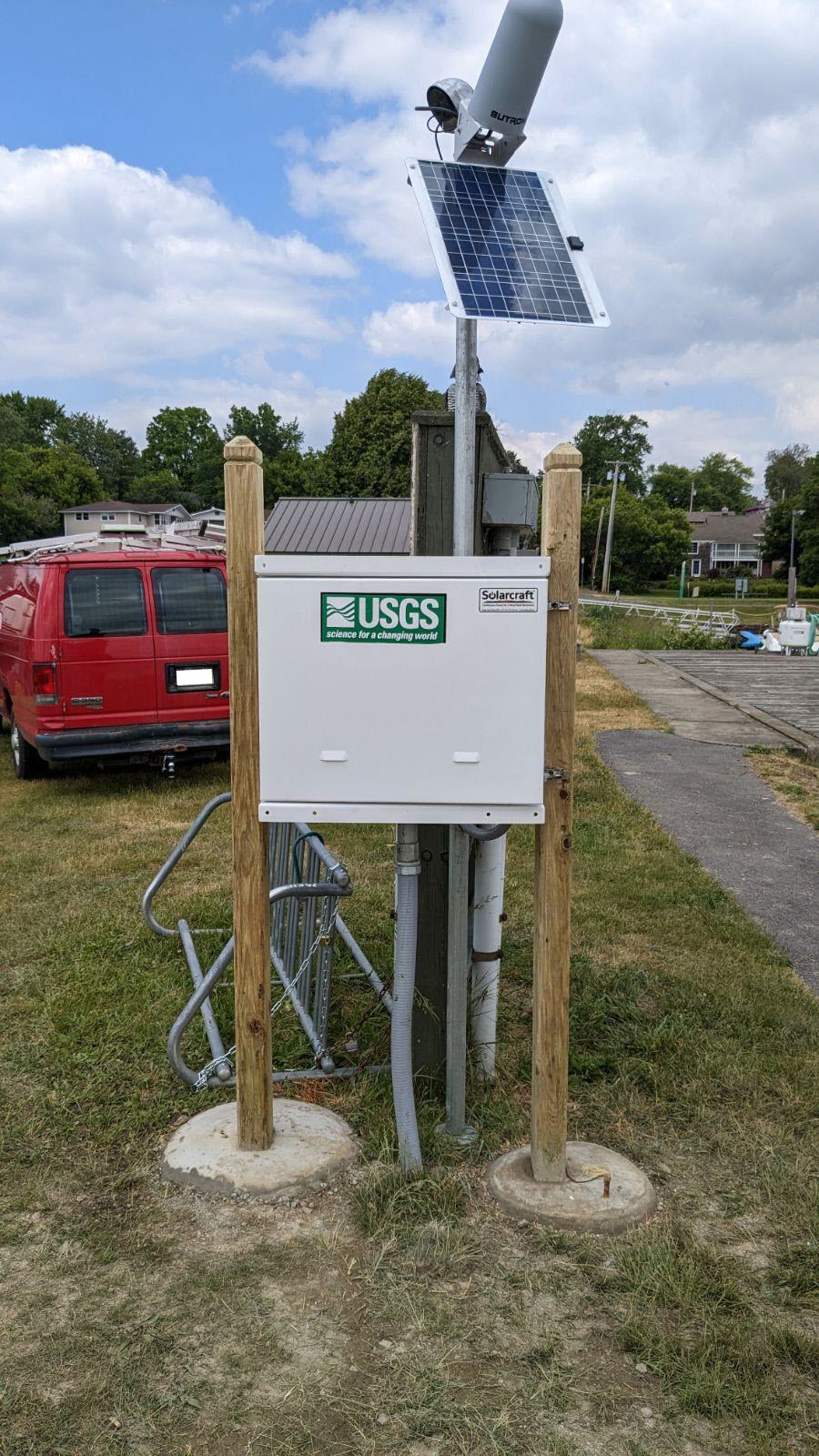 Station image
Summary of all available data for this site
Instantaneous-data availability statement

