PROVISIONAL DATA SUBJECT TO REVISION
Click to hidestation-specific text
Funding for this site is provided by:
 Site Information
LOCATION.--Lat 44°21'30", long
73°23'40" referenced to North American Datum of 1983,
Essex County, NY, Hydrologic Unit 04150408, on right bank 0.5
mi upstream from bridge on State Highway 22, 2.5 mi downstream
from North Branch Boquet River, and 3.0 mi upstream from mouth,
at Willsboro.
DRAINAGE AREA.--270 mi².
PERIOD OF RECORD.--August to September 1904 and August to November 1908 (gage heights and discharge measurements only), July 1923 to September 1968, annual maximum only--1980, 1985, 1987-89, March 1990 to current year. Prior to June 2019, published as "Bouquet River at Willsboro".
GAGE.--Water-stage recorder and crest-stage gage. Datum of gage is 150.88 ft above NGVD of 1929 and 149.93 ft above NAVD of 1988. Prior to July 1923, nonrecording gages at site 0.75 mi downstream at various datums. July 23 to Aug. 28, 1923, nonrecording gage at site 600 ft downstream at present datum.
REMARKS.--Occasional diurnal fluctuation at low flow caused by powerplant at Wadhams. Slight regulation by Lincoln Pond on Black River.
Water Years 2014-22: Records good except those for estimated daily discharges, which are poor.
EXTREMES FOR PERIOD OF RECORD.--Maximum discharge, 16,000 ft³/s, Aug. 29, 2011, gage height, 12.35 ft, from floodmark in gage house; minimum discharge, 8.8 ft³/s, Sept. 20, 1957, gage height, 1.84 ft.
 WaterAlert – get an
email or text (SMS) alert based on your chosen threshold.
WaterAlert – get an
email or text (SMS) alert based on your chosen threshold.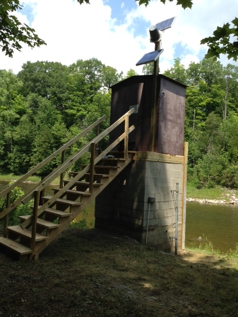 Station image
Summary of all available data for this site
Instantaneous-data availability statement

