PROVISIONAL DATA SUBJECT TO REVISION
Click to hidestation-specific text
Funding for this site is provided by:
 Site Information
LOCATION.--Lat 42°58'45.8", long
75°50'44.7" referenced to North American Datum of
1983, Madison County, NY, Hydrologic Unit 04140202, just
northwest of Chittenango Falls State Park Road.
WELL CHARACTERISTICS.--Depth 170 ft. Upper casing diameter 6 in; top of first opening 146 ft, bottom of last opening 162 ft. Cased to 19 ft, open hole.
DATUM.--Land-surface datum is 874.79 ft above North American Vertical Datum of 1988. Measuring point: Top of casing, 3.14 ft above land-surface datum, Aug. 31, 2015 to Apr. 26, 2021; Mark on PVC pipe, 3.1 ft above land-surface datum, Apr. 26, 2021 to present; Mark on top of well flange, 3.12 ft above land-surface datum, Apr. 26, 2021 to present.
PERIOD OF RECORD.--September 2008 to current year.
GAGE.--Water-stage recorder--15 minute; periodic measurements by USGS personnel.
REMARKS.--Satellite water-level telemeter at station.
EXTREMES FOR PERIOD OF RECORD.--Highest water level, 102.23 ft, below land-surface datum, Mar. 30, 2018; lowest water level, 140.21 ft below land-surface datum, Oct. 15, 2020.
 WaterAlert – get an
email or text (SMS) alert based on your chosen threshold.
WaterAlert – get an
email or text (SMS) alert based on your chosen threshold.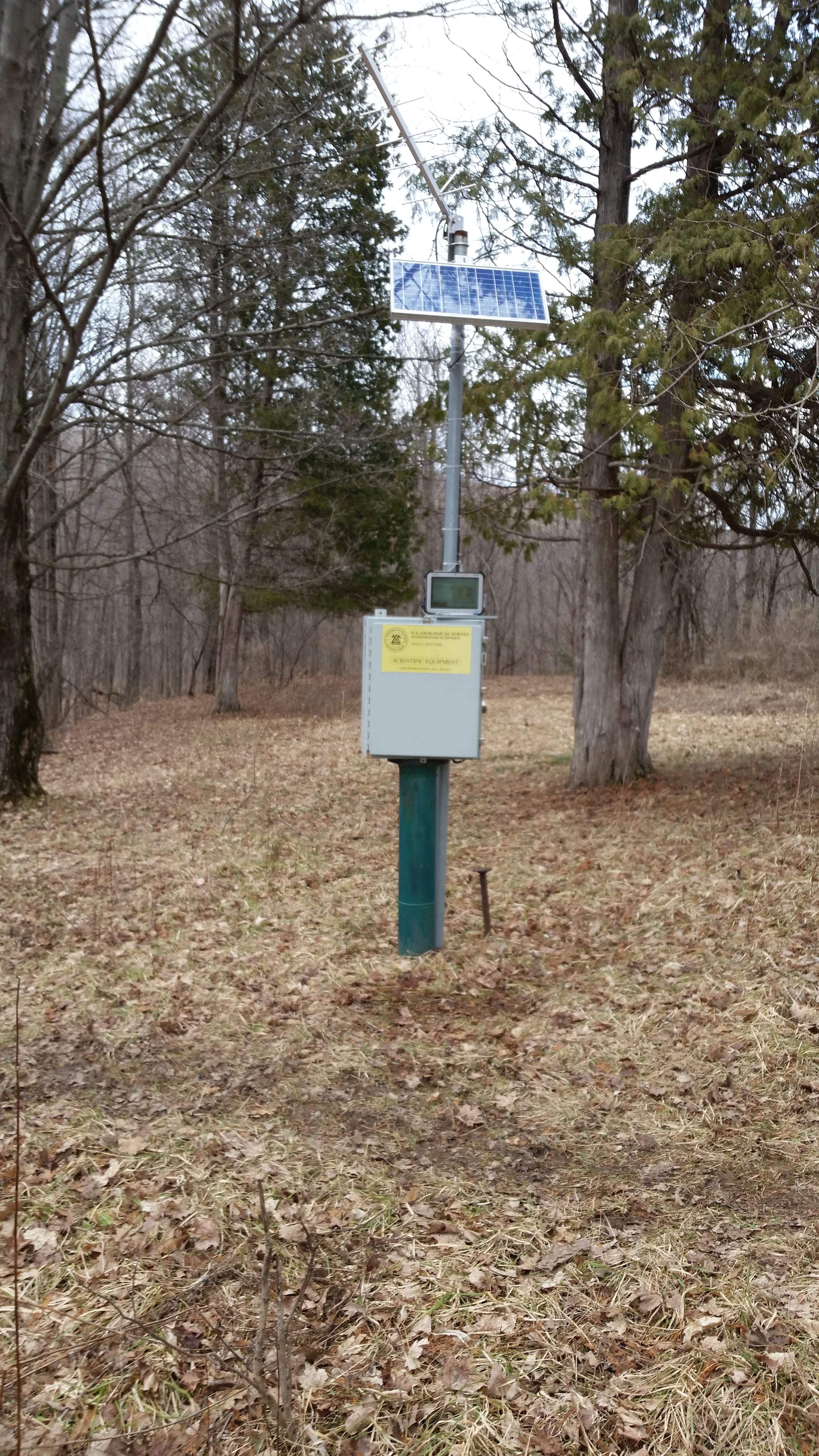 Station image
Summary of all available data for this site
Instantaneous-data availability statement
