PROVISIONAL DATA SUBJECT TO REVISION
Click to hidestation-specific text
Funding for this site is provided by:
 Site Information
LOCATION.--Lat 43°03'14.3", long
73°43'16.1" referenced to North American Datum of
1983, Saratoga County, NY, Hydrologic Unit 02020003, 200 ft
downstream of State Highway 9P at the outlet of Saratoga Lake,
2 mi east of Saratoga Springs.
DRAINAGE AREA.--217 mi².
PERIOD OF RECORD.--April 2014 to current year.
GAGE.--Water-stage recorder. Datum of gage is NGVD of 1929. To convert elevations to NAVD of 1988, subtract 0.63 ft.
REMARKS.--Surface area of lake is approximately 4,147 acres at normal summer pool elevation of 203.5 ft. Elevation of lake is controlled by a structure across Fish Creek at Winnies Reef, 6.5 miles downstream of the lake outlet. Water is released through structure using removable wooden stop logs and mechanically operated sluice gates.
EXTREMES FOR PERIOD OF RECORD.--Maximum elevation, 205.48 ft, Apr. 8, 2017; minimum elevation, 200.52 ft, Mar. 9, 10, 11, 2015.
 WaterAlert – get an
email or text (SMS) alert based on your chosen threshold.
WaterAlert – get an
email or text (SMS) alert based on your chosen threshold.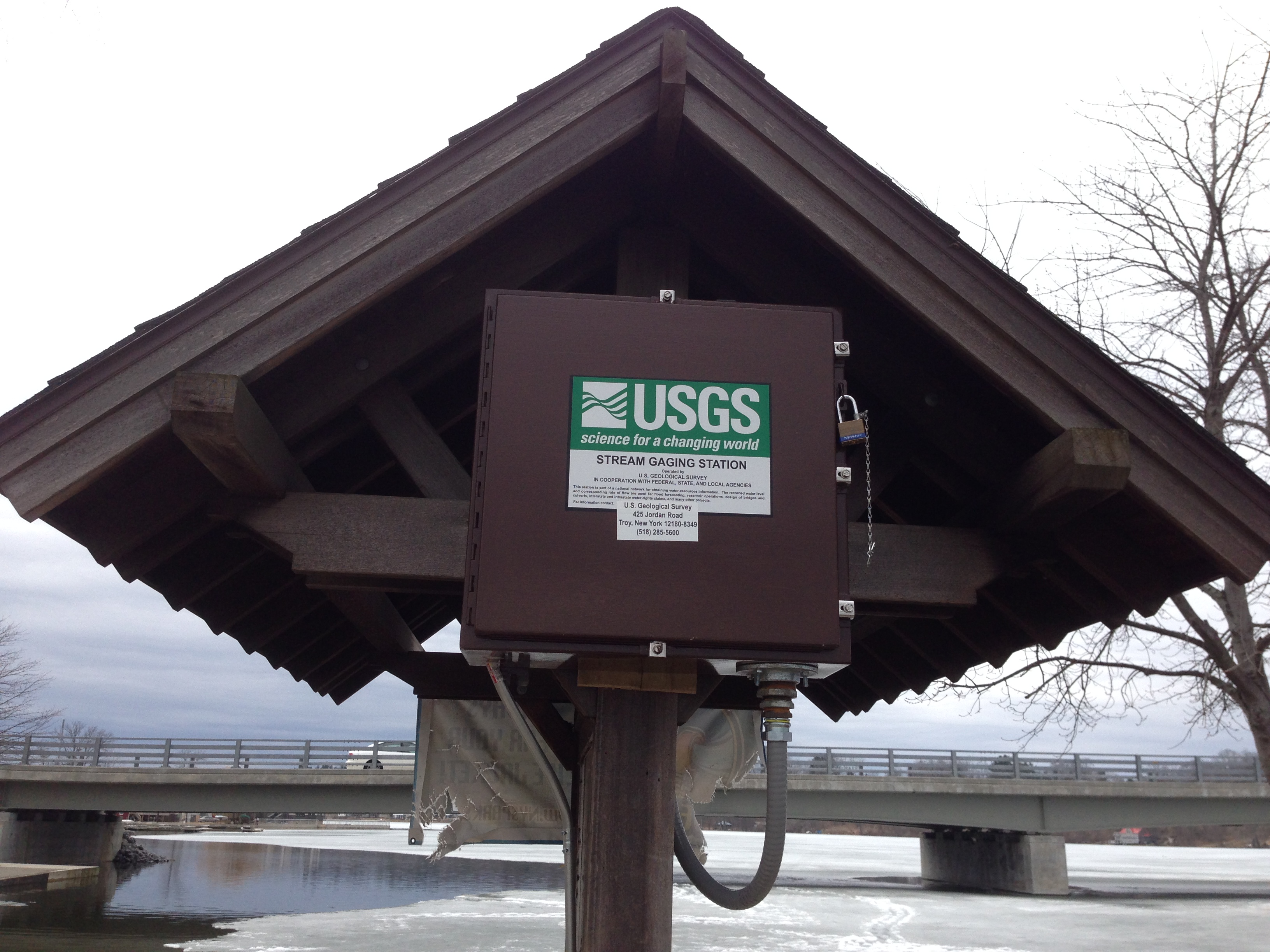 Station image
Summary of all available data for this site
Instantaneous-data availability statement
