PROVISIONAL DATA SUBJECT TO REVISION
Click to hidestation-specific text
Funding for this site is provided by:
 STATION.--0148064640 STRUBLE LAKE NEAR HONEY
BROOK, PA
STATION.--0148064640 STRUBLE LAKE NEAR HONEY
BROOK, PALOCATION.--Lat 40`06'28", long 75`51'51", Chester County, Hydrologic Unit 02040205, northeast from Honey Brook.
DRAINAGE AREA.--2.94 square miles.
PERIOD OF RECORD.--October 2018 to current year.
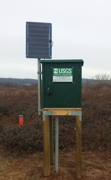
GAGE.--Water-stage recorder. Datum of gage is North American Vertical Datum of 1988. Modem telemetry at station for emergency call-out only.
COOPERATION.--Funding for the operation of this station is provided by Chester County Water Resources Authority.
REMARKS.-- The 386-acre impoundment is owned by the Commonwealth of Pennsylvania and is managed by the Fish and Boat Commission for public fishing and boating.
Summary of all available data for this site
Instantaneous-data availability statement
