PROVISIONAL DATA SUBJECT TO REVISION
Click to hidestation-specific text
 STATION.--01543700 FIRST FORK SINNEMAHONING CREEK AT
WHARTON, PA
STATION.--01543700 FIRST FORK SINNEMAHONING CREEK AT
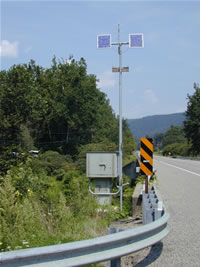
WHARTON, PALOCATION.--Lat 41`31'08", long 78`01'40", Potter County, Hydrologic Unit 02050202, at upstream side of bridge on State Highway 872, and 0.8 mi southwest of Wharton.
DRAINAGE AREA.--182 square miles.
PERIOD OF RECORD.--1968-80, 1982, low-flow partial-record site; 1984 to Sept 2018, operated as an annual-peak site; Oct 2018 to current year, continuous-record discharge site.
GAGE.--Water-stage recorder and crest-stage gage. Datum of gage is 1,062.15 ft above North American Vertical Datum of 1988 (from benchmark). Prior to March 13, 2024, the datum of gage was reported as 1062.68 ft above National Geodetic Vertical Datum of 1929 (NGVD29) or erroneously reported as 1070 ft above NGVD29 depending on source. Satellite telemetry at gage.
COOPERATION.--Station established and maintained by the U.S. Geological Survey. Funding for the operation of this station is provided by the U.S. Army Corps of Engineers, Baltimore District, the Pennsylvania Department of Environmental Protection, and the U.S. Geological Survey.
REMARKS.--Daily discharge not available prior to Oct 1, 2018.
GAGE HEIGHTS OF IMPORTANCE.-
Supplied by USGS: Data transmitter operational limit - 24.8 ft;
Supplied by NWS: No flood stage has been determined for this station.
Summary of all available data for this site
Instantaneous-data availability statement

