PROVISIONAL DATA SUBJECT TO REVISION
Click to hidestation-specific text
Funding for this site is provided by:
 STATION.--402255076422001 DAUPHIN COUNTY, local well
number DA 868
STATION.--402255076422001 DAUPHIN COUNTY, local well
number DA 868LOCATION.--Lat 40`22'55.2", long 76`42'20.7", Hydrologic Unit 02050305, at Ft. Indiantown Gap.
OWNER.--Ft. Indiantown Gap.
AQUIFER.--Hamburg Formation, Ordovician age.
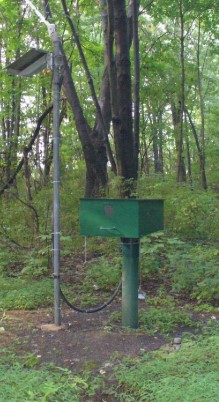
WELL CHARACTERISTICS.--Drilled observation well, diameter 6 in, depth 141 ft, cased to 17 ft, open hole.
INSTRUMENTATION.--Data collection platform with 15-minute recording interval since April 2023; prior, 30-minute recording interval. Satellite telemetry at station.
DATUM.--Elevation of land surface is 511.2 ft above North American Vertical Datum of 1988, from survey. Measuring point: Top of casing, 3.7 ft above land-surface datum.
PERIOD OF RECORD.--November 15, 2002 to current year.
COOPERATION.--Funding for the operation of this station is provided by the Pennsylvania Department of Environmental Protection and the U.S. Geological Survey.
Summary of all available data for this site
Instantaneous-data availability statement
