PROVISIONAL DATA SUBJECT TO REVISION
Click to hidestation-specific text
Funding for this site is provided by:
 STATION.--403226075343001 LEHIGH COUNTY, local well
number LE 860
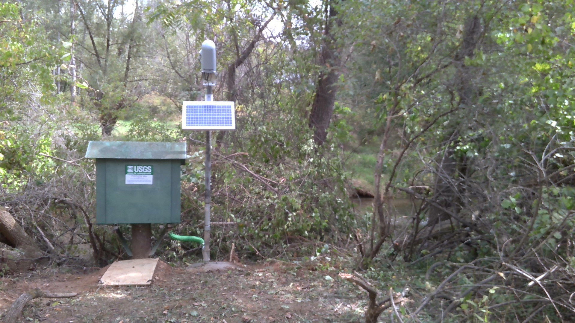
STATION.--403226075343001 LEHIGH COUNTY, local well
number LE 860LOCATION.--Lat 40`32'26", long 75`34'30", Hydrologic Unit 02040106, Lower Macungie Township, Ancient Oaks Development, Pembrook Drive, and adjacent to Little Lehigh Creek.
OWNER.--Lower Macungie Township.
AQUIFER.--Dolomite of Allentown Formation of Late Cambrian Age.
WELL CHARACTERISTICS.--Drilled observation artesian well, diameter 6 in, depth 100 ft, cased to 58 ft, open hole.
INSTRUMENTATION.--Data collection platform with 15-minute recording interval since June 2023; prior, 60-minute recording interval. Satellite telemetry at station.
DATUM.--Elevation of land surface is 358 ft above North American Vertical Datum of 1988, from Lidar. Measuring point: Top of plywood shelf, 2.95 ft above land-surface datum. Prior to March 18, 1981, top of casing, 2.00 ft above land-surface datum.
REMARKS.--Daily maximum water levels since June 1969.
PERIOD OF RECORD.--June 1969 to April 1985. September 2021 to current year.
COOPERATION.--Funding for the operation of this station is provided by the U.S. Geological Survey.
Summary of all available data for this site
Instantaneous-data availability statement
