PROVISIONAL DATA SUBJECT TO REVISION
Click to hidestation-specific text
 STATION.--414330076280501 BRADFORD COUNTY, local
well number BR92
STATION.--414330076280501 BRADFORD COUNTY, local
well number BR92LOCATION.--Lat 41`43'24.0", long 76`28'07.4", Hydrologic Unit 02050106, at Monroeton.
OWNER.--U.S. Geological Survey.
AQUIFER.--Lock Haven Formation, Late Devonian age.
WELL CHARACTERISTICS.--Drilled observation well, diameter 6 in., depth 117 ft, cased to 55 ft, open hole.
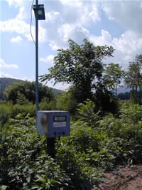
INSTRUMENTATION.--Data collection platform with 60-minute recording interval. Satellite telemetry at station.
DATUM.--Elevation of land surface is 742 ft above North American Vertical Datum of 1988, from Lidar. Measuring point: Top of casing, 3.05 ft above land-surface datum.
REMARKS.--Daily maximum, minimum, and mean water levels since September 1998 are available from the District Office.
PERIOD OF RECORD.---May 1966 to current year.
COOPERATION.--Funding for the operation of this station is provided by the Pennsylvania Department of Environmental Protection and the U.S. Geological Survey.
This gage is monitored as part of the National Groundwater and Streamflow Information Program.
Summary of all available data for this site
Instantaneous-data availability statement
