PROVISIONAL DATA SUBJECT TO REVISION
Click to hidestation-specific text
Funding for this site is provided by:



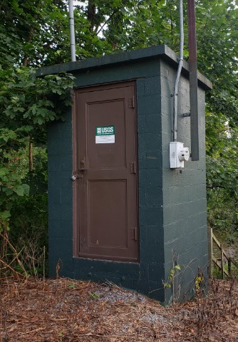 STATION.--01452000 JORDAN CREEK AT ALLENTOWN,
PA
STATION.--01452000 JORDAN CREEK AT ALLENTOWN,
PALOCATION.--Lat 40`37'23", long 75`28'58", Lehigh County, Hydrologic Unit 02040106, on right bank 200 ft upstream from bridge on State Highway 145, 0.5 mi northwest of city limits of Allentown, and 2.5 mi upstream from mouth.
DRAINAGE AREA.--75.8 square miles.
PERIOD OF RECORD.--October 1944 to current year.
GAGE.--Water-stage recorder, crest-stage gage. Datum of gage is 257.82 ft above National Geodetic Vertical Datum of 1929. Prior to September 17, 2013, gage included masonry control at datum 2.0 ft higher. For history of changes prior to September 17, 2013, refer to WDR-US_2012. From January 7, 2022 to January 6, 2023 datum of gage was erroneously reported as 259.2 ft above North American Vertical Datum of 1988. From September 17, 2013 to February 8, 2023, the datum of gage was incorrectly reported as 259.82 ft above NGVD29. Satellite telemetry at station.
COOPERATION.--Station established and maintained by the U.S. Geological Survey. Funding for the operation of this station is provided by the Lehigh County Authority, the Pennsylvania Department of Environmental Protection, and the U.S. Geological Survey.
REMARKS.--Some regulation at low flows by mills upstream.
GAGE HEIGHTS OF IMPORTANCE.-
Supplied by USGS: Data transmitter operational limit: 19.9 ft;
Supplied by NWS: Action stage: 6 ft, at 7.1 ft, Rte 309 in Whitehall Twp closed; Flood stage: 8 ft, Village Road in S Whitehall flooded; Moderate flood stage: 10 ft; Major flood stage: 11 ft, at 13 ft, Seventh Street bridge flooded.
Summary of all available data for this site
Instantaneous-data availability statement


