USGS 50039995 LAGO CARITE AT SPILLWAY, PR

PROVISIONAL DATA SUBJECT TO REVISION

Click to hidestation-specific text
Click to go to the Autoridad de Energia Electrica de Puerto Rico web page

Station Drainage Area


Image of Lago Carite at Spillway
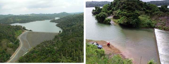
Aerial photos courtesy of Puerto Rico Energy and Power Authority (PREPA).
This station managed by the Caribbean-Florida WSC - San Juan.

Available Parameters Available Period
  
2018-03-09  2024-04-24
2005-06-04  2023-10-29
2007-10-01  2024-04-24
2007-10-01  2024-04-24
2007-10-01  2024-04-24
2007-10-01  2024-04-24


 (7)
 

  -- or --


Summary of all available data for this site
Instantaneous-data availability statement


Precipitation, total, inches

Most recent instantaneous value: 0.00 04-24-2024   04:15 AST
Graph of  Precipitation, total, inches

Add up to 2 more sites and replot for "Precipitation, total, inches"

?


Create presentation-quality / stand-alone graph.   Subscribe to WaterAlert      

See this graph on the Monitoring Location Pages