PROVISIONAL DATA SUBJECT TO REVISION
Click to hidestation-specific text
| Funding for this site is provided by the cooperators / programs below: | |
|
Corps of Engineers, Galveston District |
|
|
|
|
|
For specific information about conservation pool elevation, current storage and percent full, access these data maintained by the Texas Water Development Board for major Texas reservoirs here. |
|
|
|
|
|
Retransmission, forecasts and summary by the National Weather Service |
|
The datum of gage has been determined to be 0.00 feet above NAVD 1988 and .30 feet above NGVD 1929. To obtain water-surface elevation values in NAVD 1988 add 0.00 feet to gage height values. Prior to October 1, 2016 the datum of gage was 0.00 feet above NAVD 1929.
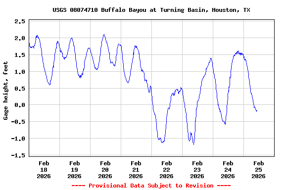
| Data are tidally affected -- Astronomical tides cause significant cycles of approximately 24.84 hours at this site. Because a different portion of the 24.84-hour tidal cycle is averaged in successive daily (24-hour) computations, a systematic secondary oscillation, unrelated to basin hydrology and having a period of about two weeks may be apparent in daily data. |
Summary of all available data for this site
Instantaneous-data availability statement