USGS 09315000 GREEN RIVER AT GREEN RIVER, UT

PROVISIONAL DATA SUBJECT TO REVISION

Click to hidestation-specific text
USGS station 09315000 
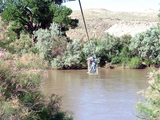
Station operated by the U.S. Geological Survey as part of the Federal Priority Streamgages Network, in cooperation with the U.S. Bureau of Reclamation.

Logo for USGS Real-time Water Quality Visit USGS Real-Time Water Quality to view continuous estimates of concentrations and loads for bacteria and other chemicals.
This station managed by the Moab UT Field Office.

Available Parameters Available Period
  
2021-03-10  2026-01-30
2021-06-22  2026-01-30
2021-06-22  2026-01-30
2021-06-22  2026-01-30
2021-06-22  2026-01-30
2021-06-22  2026-01-30
1986-10-01  2026-01-30
2007-10-01  2026-01-30
2021-03-10  2026-01-30
2021-06-22  2026-01-30
2021-06-22  2025-11-24
2021-06-22  2025-11-24
2021-06-22  2026-01-30


 (7)
 

  -- or --


Summary of all available data for this site
Instantaneous-data availability statement


Temperature, water, degrees Celsius

Most recent instantaneous value: 1.6 01-30-2026   19:00 MST
Graph of  Temperature, water, degrees Celsius

Add up to 2 more sites and replot for "Temperature, water, degrees Celsius"

?


Create presentation-quality / stand-alone graph.   Subscribe to WaterAlert      

See this graph on the Monitoring Location Pages


Discharge, cubic feet per second

Most recent instantaneous value: Ice 01-30-2026   19:00 MST
Graph of  Discharge, cubic feet per second

Add up to 2 more sites and replot for "Discharge, cubic feet per second"

?


Create presentation-quality / stand-alone graph.   Subscribe to WaterAlert      

See this graph on the Monitoring Location Pages


Daily discharge, cubic feet per second -- statistics for Jan 30 based on 125 water years of record more
Most Recent
Instantaneous
Value Jan 30
Min
(1897)
25th
percen-
tile
Median Mean 75th
percen-
tile
Max
(1969)
-- unavailable -- 1000 1690 2100 2440 2970 6200


Gage height, feet

Most recent instantaneous value: 5.76 01-30-2026   19:00 MST
Graph of  Gage height, feet

Add up to 2 more sites and replot for "Gage height, feet"

?


Create presentation-quality / stand-alone graph.   Subscribe to WaterAlert      

See this graph on the Monitoring Location Pages


Specific conductance, water, unfiltered, microsiemens per centimeter at 25 degrees Celsius

Most recent instantaneous value: 813 01-30-2026   19:00 MST
Graph of  Specific conductance, water, unfiltered, microsiemens per centimeter at 25 degrees Celsius

Add up to 2 more sites and replot for "Specific conductance, water, unfiltered, microsiemens per centimeter at 25 degrees Celsius"

?


Create presentation-quality / stand-alone graph.   Subscribe to WaterAlert      

See this graph on the Monitoring Location Pages


Dissolved oxygen, water, unfiltered, milligrams per liter

Most recent instantaneous value: 12.8 01-30-2026   19:00 MST
Graph of  Dissolved oxygen, water, unfiltered, milligrams per liter

Add up to 2 more sites and replot for "Dissolved oxygen, water, unfiltered, milligrams per liter"

?


Create presentation-quality / stand-alone graph.   Subscribe to WaterAlert      

See this graph on the Monitoring Location Pages


Turbidity, water, unfiltered, monochrome near infra-red LED light, 780-900 nm, detection angle 90 +-2.5 degrees, formazin nephelometric units (FNU)
 
-- Data temporarily unavailable for the time period specified --