USGS 10129500 WEBER RIVER NEAR WANSHIP, UT

PROVISIONAL DATA SUBJECT TO REVISION

Click to hidestation-specific text
USGS station 10129500 
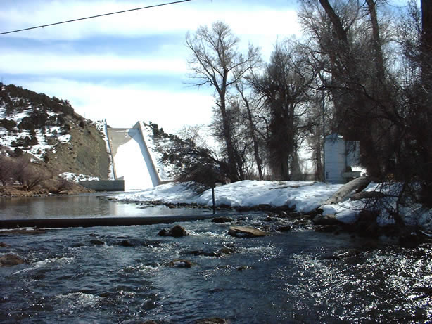
Station operated by the U.S. Geological Survey in cooperation with the U.S. Bureau of Reclamation, and Cooperative Matching Funds with the Weber Basin Conservancy District.

This station managed by the Salt Lake City Field Office.

Available Parameters Available Period
  
1989-03-08  2024-03-19
2007-10-01  2024-03-19


 (7)
 

  -- or --


Summary of all available data for this site
Instantaneous-data availability statement


Discharge, cubic feet per second

Most recent instantaneous value: 206 03-19-2024   01:15 MDT
Graph of  Discharge, cubic feet per second

Add up to 2 more sites and replot for "Discharge, cubic feet per second"

?


Create presentation-quality / stand-alone graph.   Subscribe to WaterAlert      

See this graph on the Monitoring Location Pages


Daily discharge, cubic feet per second -- statistics for Mar 19 based on 35 water years of record more
Min
(2001)
25th
percen-
tile
Median Mean 75th
percen-
tile
Most Recent
Instantaneous
Value Mar 19
Max
(2011)
23.0 27 60 100 169 206 506


Gage height, feet

Most recent instantaneous value: 2.25 03-19-2024   01:15 MDT
Graph of  Gage height, feet

Add up to 2 more sites and replot for "Gage height, feet"

?


Create presentation-quality / stand-alone graph.   Subscribe to WaterAlert      

See this graph on the Monitoring Location Pages