
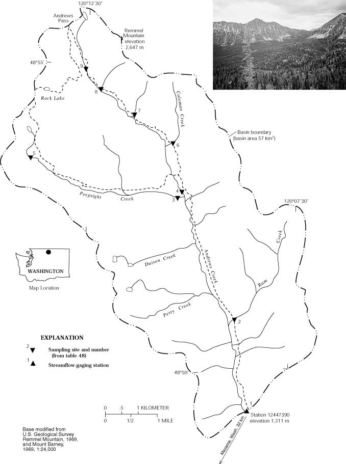
Location.--Latitude 48°49'23", Longitude
120°08'41", in NE 1/4 Section 1, Township 38 North, Range 21
East, in Okanogan County, Hydrologic Unit 17020008,
Okanogan National Forest, on left bank 50 feet upstream from Blizzard
Creek, 20 miles northeast of Mazama, and at river mile
3.5. Drainage
area is 22. mi2. Elevation
of gage is 4,300 feet above NGVD of 1929, from topographic map.
Maps.--Locate
this station on a
map of the basin (PDF), and a detailed
basin map from the station information report.
Additional Data and Information.-- Latest shifted
rating.
Flood Stage.--The National Weather Service has not
established a Flood
Stage for this station.
Funding for this site is provided by the
cooperators / programs below:
This station is affected by
ice
during extreme cold weather periods. A description of the types of ice
affecting rivers can be download here.
The gage will be discontinued on
Oct. 1, 2022 due to a lack of funding. If you have
interest in possibly funding this site, please reach out to the
USGS using the "Questions about sites/data" link at the
bottom of the page.

