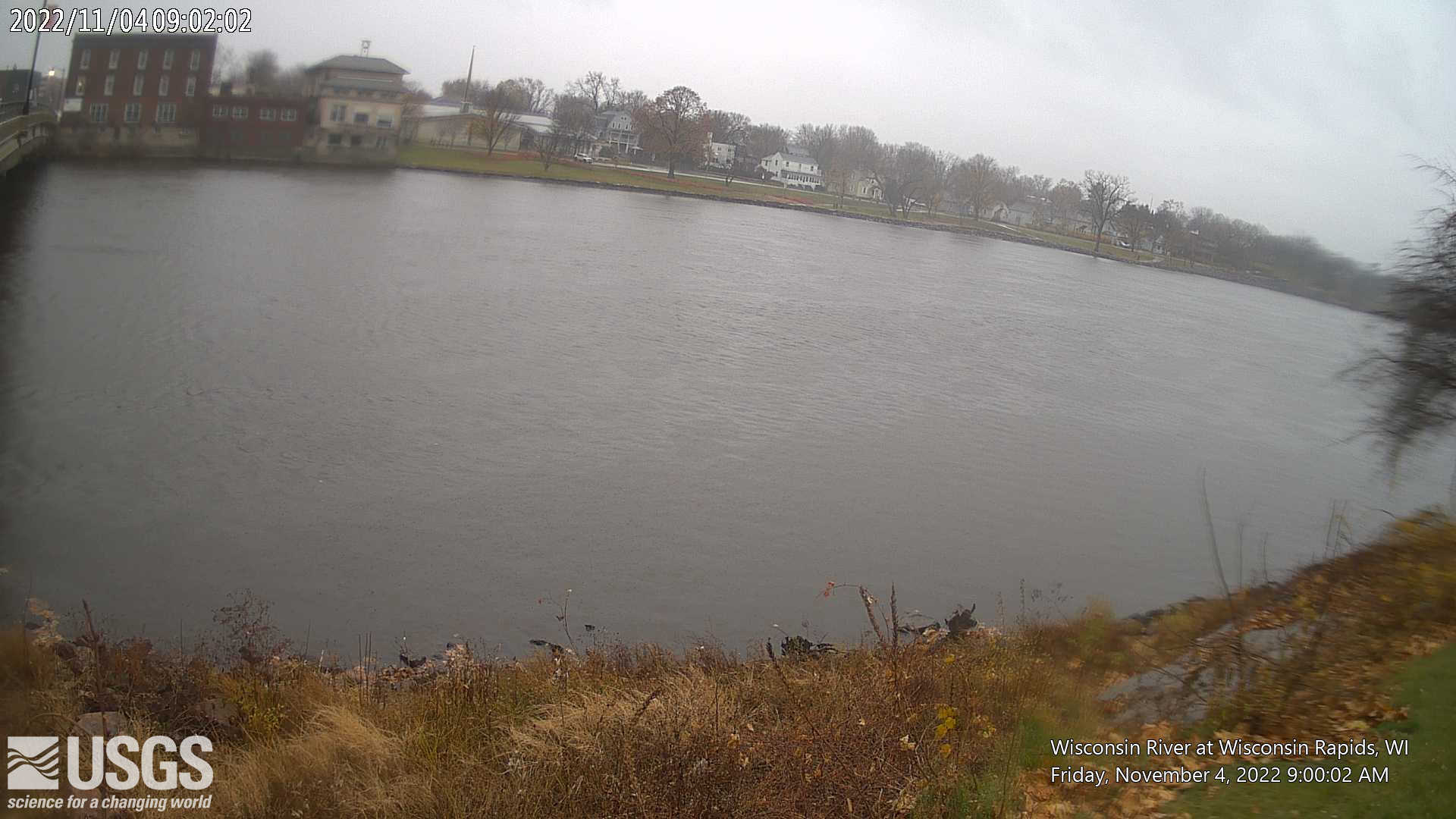
LOCATION.--Lat 44.392°, long 89.828°, Wood County, Hydrologic Unit 07070003, at west downstream side of Grand Ave. bridge at Wisconsin Rapids.
DRAINAGE AREA.-- 5420 square miles.
PERIOD OF RECORD.--June 1914 to March 1950, data provided from October 1957 to 2017. USGS gage installed and operated April 2017 to present.
GAGE.--Water-stage recorder, Data Collection Platform, acoustic velocity meter and Cellular transmitter. Datum of gage is 977.26 +/- 0.16 ft NAVD88 from RTK.
REMARKS.--Gage-height telemeter at station. Flow regulated by dam 1000 ft. upstream. From 1914 to 1950 gage was located 7 miles downstream at different datum and published as near Nekoosa (05400800).
Operated in Cooperation With:
Wisconsin Valley Improvement Company
 Wisconsin Department of Natural Resources
and with funding from the U.S. Geological Survey Federal Priority Streamgages Program
Additional Information:
 National Weather Service Flood Forecast Page
Time-lapse video products are considered a proof of concept with no guarantee regarding product up time. Time-lapse videos can be viewed using Chrome, Firefox or Opera browser application on smartphone, tablet, desktop and laptop devices. Additional browser support for Safari and Internet Explorer may be added later.
Any use of trade, firm, or product names is for descriptive purposes only and does not imply endorsement by the U.S. Government.