Funding for this site is provided by:
 STATION.
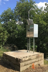
--01518862 COWANESQUE RIVER AT WESTFIELD,
PA
LOCATION.--Lat 41`55'23", long
77`31'56", Tioga County, Hydrologic Unit 02050104, on left
bank at Westfield, 800 ft downstream from Mill Creek, and 0.5 mi
upstream from bridge on State Highway 49.
DRAINAGE AREA.--90.6 square miles.
PERIOD OF RECORD.--August 1983 to current year.
GAGE.--Water-stage recorder and crest-stage gage.
Datum of gage is 1,337.58 ft above National Geodetic Vertical Datum of
1929. Satellite telemetry at station.
COOPERATION.--Funding for the operation of this
station is provided by the Pennsylvania Department of Environmental
Protection.
GAGE HEIGHTS OF IMPORTANCE.--
Supplied by USGS: Data transmitter operational limit -
17.7 ft;
Supplied by NWS: No flood stage has been determined
for this station.

