


<a href="https://www.usgs.gov/centers/alaska-science-center/science/usgs-alaska-streamgage-datum-north-american-vertical-datum">USGS Alaska Streamgage Datum to North American Vertical Datum of 1988 Conversion Table</a>
Important Legacy real-time page
Available data
Select data types to graph from categories based on the way the data were collected.
Learn about the data collection categories Continuous data
3 data types available - data from 1995-05-28 to 2026-08-02
Daily data
2 data types available - data from 1982-09-01 to 2026-08-01
Field measurements
3 data types available - data from 1982-09-03 to 2026-06-20
Discrete sample data
6 Observed properties (data types) available - with data from 2014-09-03 to 2020-06-04
65 Sampling activities
Statistical tables for select daily data types
2 data types available - data from 1982-09-01 to 2026-08-01
Available location images
Sagavanirktok R nr Pump Sta 3
Sagavanirktok River at Ice Cut, Dalton Highway milepost 324.7
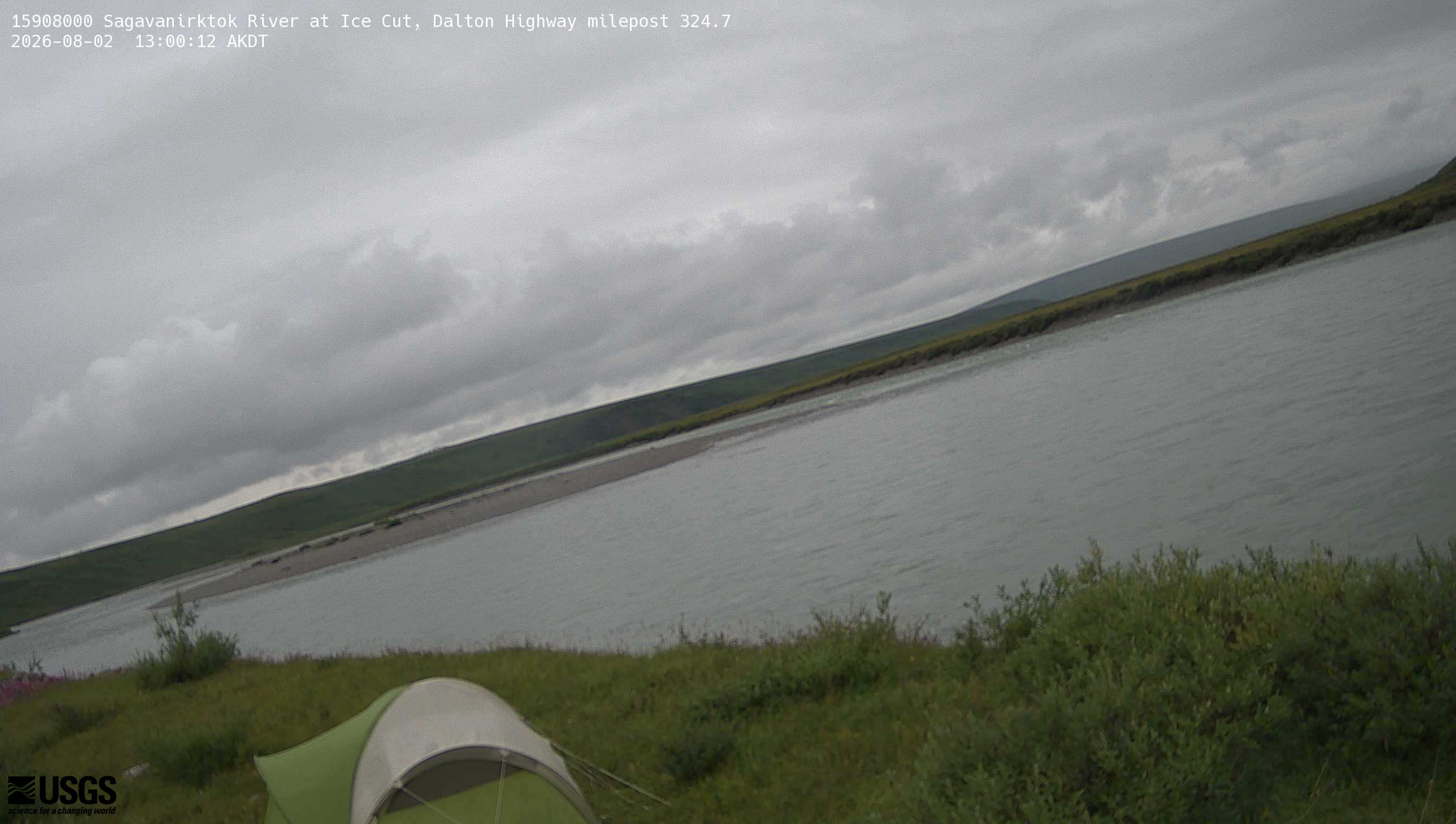 View more imagery information for Sagavanirktok R nr Pump Sta 3
Monitoring locations with continuous data in last 120 days
No locations found
