


Important Legacy real-time page
Available data
Select data types to graph from categories based on the way the data were collected.
Learn about the data collection categories Continuous data
6 data types available - data from 2023-05-25 to 2026-09-09
Daily data
4 data types available - data from 2023-05-26 to 2026-09-08
Field measurements
2 data types available - data from 2023-05-25 to 2026-09-02
Discrete sample data
0 observed properties (data types) available
Peak measurements
2 data types available - with data from 2023-08-08 to 2025-07-19
Statistical tables for select daily data types
4 data types available - data from 2023-05-26 to 2026-09-08
Important information about this monitoring location
LOCATION.--On right bank, 200 feet downstream from bridge on 38th Street, 0.3 miles north of Brentwood, 0.75 miles upstream from confluence with Northeast Branch Anacostia River, and 1.5 miles downstream from Sligo Creek. PERIOD OF RECORD.-- May 2023 to current year. GAGE.--Water-stage recorder. Datum of gage is 3.60 ft above North American Vertical Datum of 1988. REMARKS.--Prior to June 1961, low flow regulated by storage at Burnt Mills Dam, 7.0 mi upstream from station. Inflow pumped from Patuxent River to augment water supply for Washington Suburban Sanitary District, August 1939 to August 1960. Small diversion since 1962 for irrigation of golf courses upstream from station. PERIOD OF DAILY RECORD (Water Quality).-- SPECIFIC CONDUCTANCE: May 2023 to current year. WATER TEMPERATURE: May 2023 to current year. TURBIDITY: May 2023 to current year. INSTRUMENTATION (Water Quality).-- Multi-parameter water-quality monitor, May 2023 to current year. REMARKS (Water Quality).--Missing data due to equipment malfunction.
Available location images
Northwest Branch Anacostia River at Brentwood
Northwest Branch Anacostia River at Brentwood, MD
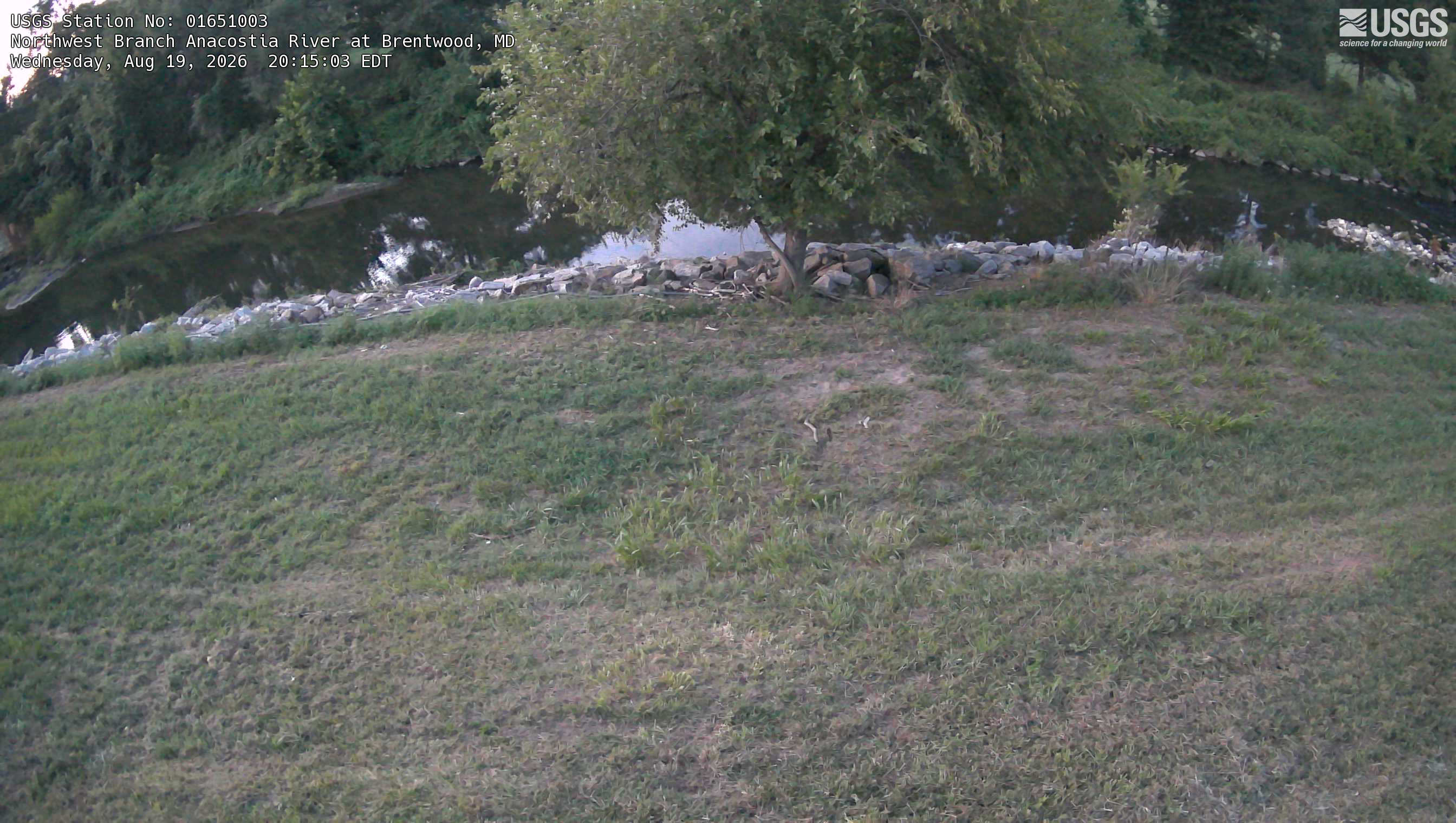 View more imagery information for Northwest Branch Anacostia River at Brentwood
Monitoring locations with continuous data in last 120 days
No locations found