Warning: Javascript must be enabled to use all the features on this page!


Page Loading - Please Wait...

Click to hideNews Bulletins
! Daily data pages will be decommissioned in early 2026. Daily data are now available in WDFN.
Please find the modernized pages in WDFN that suit you best. Learn more about our modernization plans and timeline.

USGS 01441495 Pocono Creek ab Wigwam Run near Stroudsburg, PA

PROVISIONAL DATA SUBJECT TO REVISION

Click to hidestation-specific text
Funding for this site is provided by:


Station gage imageSTATION.--
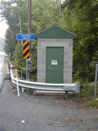
01441495 POCONO CREEK AB WIGWAM RUN NEAR STROUDSBURG, PA
LOCATION.--Lat 40`59'27", long 75`15'20", Monroe County, Hydrologic Unit 02040104, on right bank at bridge on SR 2005, 150 ft upstream from Wigwam Run, and 4.0 mi upstream from mouth, and 4.0 mi west of Stroudsburg.
DRAINAGE AREA.--38.9 square miles.
PERIOD OF RECORD.--June 2002 to current year.
GAGE.--Water-stage recorder and crest-stage gage. Datum of gage is 573.98 ft above North American Vertical Datum of 1988 from benchmark. Prior to June 24, 2024, the datum of gage was reported as 574.57 ft above National Geodetic Vertical Datum of 1929. Satellite telemetry at station.
COOPERATION.--Funding for the operation of this station is provided by the Monroe County Conservation District.
This station managed by the PAWSC Williamsport Field Office.

Available Parameters Period of Record
  
2002-06-21  2024-09-30


 (365)
 

  -- or --


Summary of all available data for this site
Instantaneous-data availability statement
*** There are no data available on the Waterdata system for the time period specified,
    although data may be available in the files of the local USGS office operating the station.