PROVISIONAL DATA SUBJECT TO REVISION
Click to hidestation-specific text
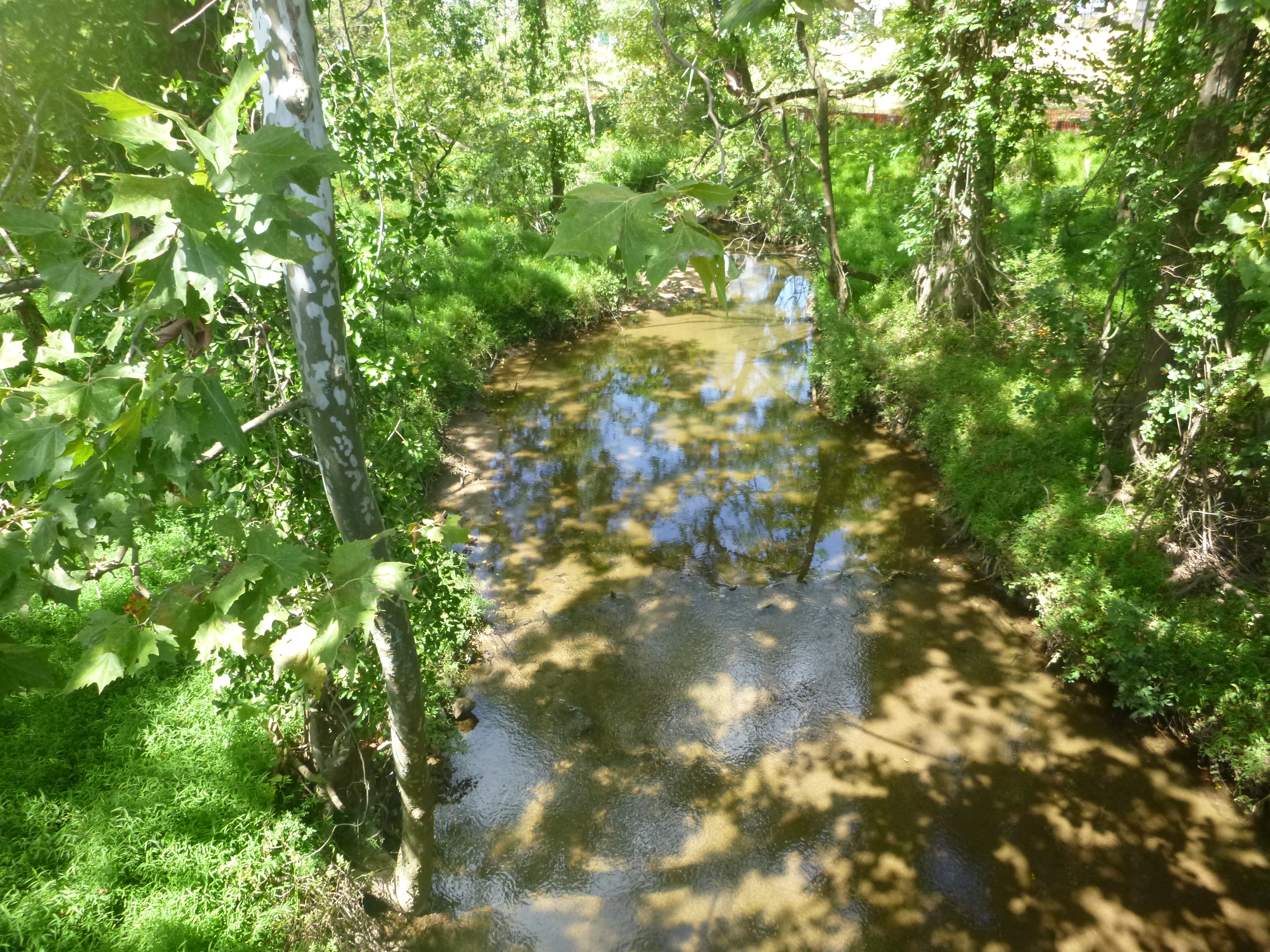 LOCATION.--Lat
39°24'16.6", long 76°46'46.6", Baltimore County, MD,
Hydrologic Unit 02060003,
LOCATION.--Lat
39°24'16.6", long 76°46'46.6", Baltimore County, MD,
Hydrologic Unit 02060003,on upstream side of bridge on Painters Mill Road, 1.0 mi southeast of Owings Mills, 1.2 mi west of Garrison, 2.5 mi northeast of Randallstown, and
0.25 mi upstream from mouth.
DRAINAGE AREA.--7.39 mi2.
PERIOD OF RECORD.--September 2019 to current year.
GAGE.--Water-stage recorder and crest-stage gage. Datum of gage is 435.51 ft above North American Vertical Datum of 1988. From 09/11/2019-02/23/2022, datum of gage was published as 435.54 ft above NAVD88.
REMARKS.--U.S. Geological Survey satellite data-collection platform at station.
COOPERATION.--Funding for the operation of this station is provided by the Baltimore County Department of Environmental Protection and Sustainability.
| Boating safety tips |
Summary of all available data for this site
Instantaneous-data availability statement
