PROVISIONAL DATA SUBJECT TO REVISION
Click to hidestation-specific text
 |
|
|
|
|
|
Station Drainage Area
|
|
|
|
|
 |
|
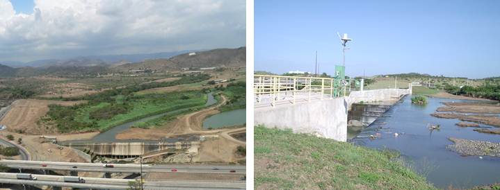
| Aerial photos courtesy of Puerto Rico Energy and Power Authority (PREPA). | |
Summary of all available data for this site
Instantaneous-data availability statement

![Graph of DAILY Lake or reservoir elevation above local mean sea level (LMSL), feet, [OLDPR]](https://natwebsdww01.cr.usgs.gov/nwisweb/data/img/USGS.50106850.335953.72375.32400.20231122.20241121..0..gif)
