PROVISIONAL DATA SUBJECT TO REVISION
Click to hidestation-specific text
 Site Information
LOCATION.--Lat 42°54'13.2", long
76°32'22.3" referenced to North American Datum of
1983, Cayuga County, NY, Hydrologic Unit 04140201, on right
bank near downstream side of bridge in Emerson Park, 0.2 mi
south of city limits of Auburn, and 1.0 mi upstream from State
Dam.
DRAINAGE AREA.--205 mi².
PERIOD OF RECORD.--October 1967 to current year. Records from 1912 to April 30, 1982, collected by, and in files of, City of Auburn.
GAGE.--Water-stage recorder and crest-stage gage. Datum of gage is NGVD of 1929. To convert elevations to NAVD of 1988, subtract 0.49 ft. Prior to May 1, 1982, nonrecording gage read once daily by employees of City of Auburn Water Division at same site and datum.
REMARKS.--Lake elevation regulated by gates on outlet at State Dam. Area of water surface, 10.6 mi².
EXTREMES FOR PERIOD OF RECORD.--Maximum observed elevation, 716.48 ft, June 25, 1972; minimum recorded elevation, 708.45 ft, Mar. 22, 23, 1993.
EXTREMES OUTSIDE PERIOD OF RECORD.--Maximum observed elevation since 1912, 716.91 ft, Mar. 23, 1936, Apr. 9, 1940.
 WaterAlert – get an
email or text (SMS) alert based on your chosen threshold.
WaterAlert – get an
email or text (SMS) alert based on your chosen threshold.
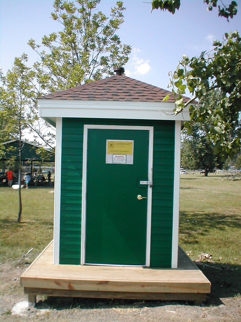 Station image
Summary of all available data for this site
Instantaneous-data availability statement

