LOCATION.--Lat 42°29'01.8", long
76°47'57.6" referenced to North American Datum of
1983, Schuyler County, NY, Hydrologic Unit 04140201, 0.4 mi
east of Burnt Hill Road, and about 250 ft south of Picnic Area
Road located in Blueberry Camping area of Finger Lakes National
Forest, 6.5 miles southwest of Trumansburg.
WELL CHARACTERISTICS.--Depth 99 ft. Upper casing
diameter 6 in; top of first opening 29.5 ft, bottom of last
opening 99 ft. Cased to 29.5 ft, open hole.
DATUM.--Land-surface datum is 1,807.11 ft above North
American Vertical Datum of 1988. Measuring point: Top of
shelter shelf, 2.35 ft above land-surface datum, Jun. 23, 2017
to Jul. 26, 2022; Top of shelter shelf, 2.34 ft above
land-surface datum, Jul. 26, 2022 to present.
PERIOD OF RECORD.--December 2008 to current year.
GAGE.--Water-stage recorder--15 minute; periodic
measurements by USGS personnel.
EXTREMES FOR PERIOD OF RECORD.--Highest water level,
27.49 ft below land surface datum, May 6, 2011; lowest water
level, 42.61 ft below land surface datum, Oct. 20, 21,
2016.

 Site Information
 WaterAlert – get an
email or text (SMS) alert based on your chosen threshold.
WaterAlert – get an
email or text (SMS) alert based on your chosen threshold.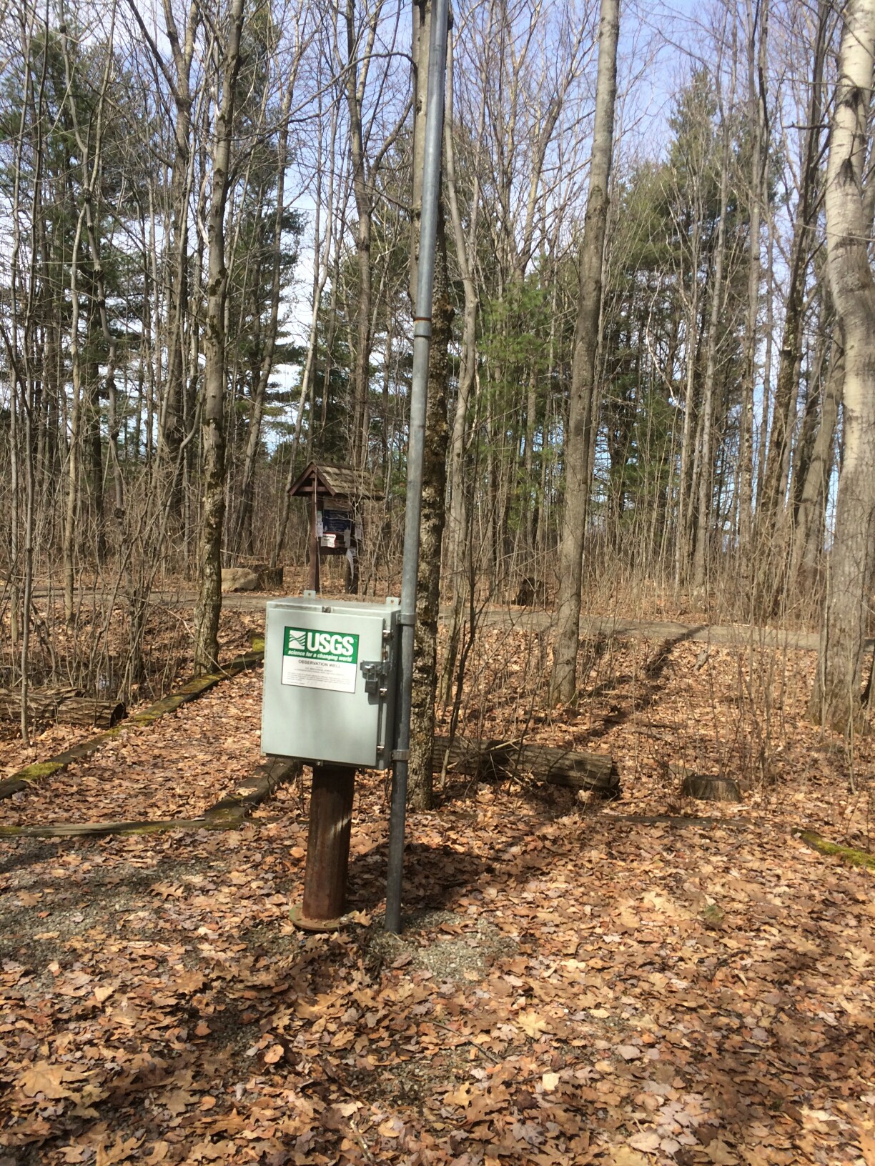 Station image