LOCATION.--Lat 42°38'52.5", long
73°50'45.6" referenced to North American Datum of
1983, Albany County, NY, Hydrologic Unit 02020006, at center of
downstream side of bridge on New Scotland Road at Karlsfeld,
0.1 mi downstream from State Highway 85, 0.7 mi west of
Normanskill, and 1.7 mi northeast of Slingerlands.
DRAINAGE AREA.--163 mi².
PERIOD OF RECORD.--Occasional miscellaneous discharge
measurements, water years 1955, 1991-92, 2019. June 2015 to
current year (gage height only).
REVISIONS HISTORY.--Gage height for the period Nov. 3,
2021 to July 19, 2023, were revised on Mar. 8, 2024, based on
changes to the gage datum.
GAGE.---Water-stage recorder and crest-stage gage. Datum
of gage is 85.86 ft above NAVD of 1988.
EXTREMES FOR PERIOD OF RECORD.--Maximum gage
height, 20.79 ft, Dec. 19, 2023; minimum gage height, 7.71
ft, Jan. 1, 2018.
 Site Information
 WaterAlert – get an
email or text (SMS) alert based on your chosen threshold.
WaterAlert – get an
email or text (SMS) alert based on your chosen threshold.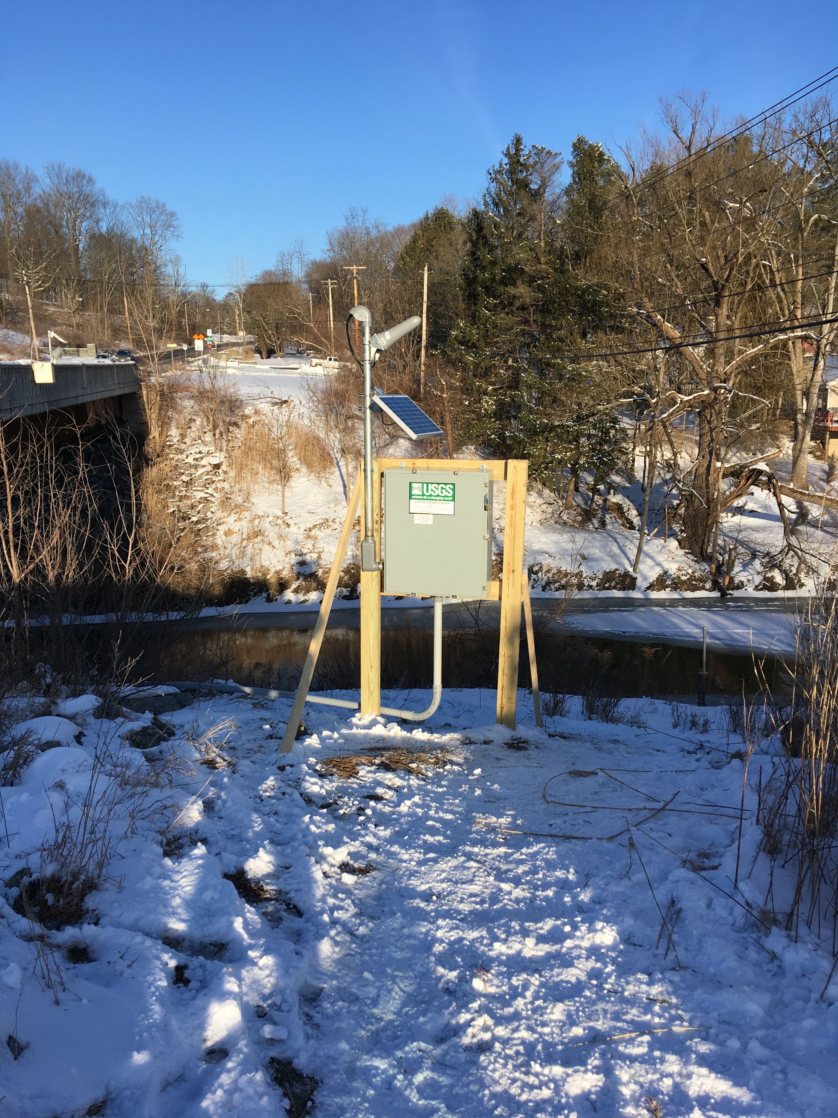 Station image