LOCATION.--Lat 40°35'20", long
73°57'57" referenced to North American Datum of 1927,
Kings County, NY, Hydrologic Unit 02030202, at west side of
northbound Ocean Parkway service road, 54 ft north of Avenue Y,
Gravesend.
WELL CHARACTERISTICS.--Depth 405 ft. Upper casing
diameter 4 in; top of first opening 385 ft, bottom of last
opening 405 ft.
DATUM.--Land-surface datum is 8.50 ft above National
Geodetic Vertical Datum of 1929. Measuring point: Top of
casing, 0.03 ft below land-surface datum, 8.47 ft above
land-surface datum, Mar. 14, 1995 to Aug. 21, 2013; unknown,
7.28 ft above land-surface datum, Aug. 21, 2013 to
present.
PERIOD OF RECORD.--March 1995 to April 2015, July 2024
to current year.
GAGE.--Periodic manual measurements by USGS
personnel.
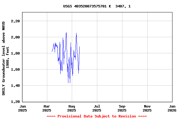
REMARKS.--Water level affected by tidal fluctuation and
local dewatering.
EXTREMES FOR PERIOD OF RECORD.--Highest water level
measured, 3.75 ft above NGVD of 1929, Sept. 29, 2004; lowest
measured, 0.72 ft above NGVD of 1929, Feb. 19, 2010.
 Site Information
 WaterAlert – get an
email or text (SMS) alert based on your chosen threshold.
WaterAlert – get an
email or text (SMS) alert based on your chosen threshold. Station image