LOCATION.--Lat 42°44'51.7", long
76°08'17.7" referenced to North American Datum of
1983, Cortland County, NY, Hydrologic Unit 02050102, at end of
Currie Road, near Preble.
WELL CHARACTERISTICS.--Depth 25 ft. Upper casing
diameter 2 in; top of first opening 15 ft, bottom of last
opening 25 ft. Cased to 25 ft (screen, 15 ft to 25 ft).
Elevation of land-surface datum is 1,184.20 ft above NGVD of
1929 and 1,183.76 ft above NAVD of 1988.
DATUM.--Land-surface datum is 1,183.76 ft above North
American Vertical Datum of 1988. Measuring point: Top of
casing, 3.15 ft above land-surface datum, Jun. 19, 2002 to Apr.
23, 2024; Top of casing, 3.16 ft above land-surface datum, Apr.
23, 2024 to present.
PERIOD OF RECORD.--July 2002 to current year.
GAGE.--Water-stage recorder--15 minute; periodic
measurements by USGS personnel.
REMARKS.--Satellite water-level telemeter at
station.
EXTREMES FOR PERIOD OF RECORD.--Highest water level,
2.40 ft below land-surface datum, Aug. 19, 2021; lowest water
level, 6.23 ft below land-surface datum, Oct. 15, 16, 18,
2016.
 Site Information
 WaterAlert – get an
email or text (SMS) alert based on your chosen threshold.
WaterAlert – get an
email or text (SMS) alert based on your chosen threshold.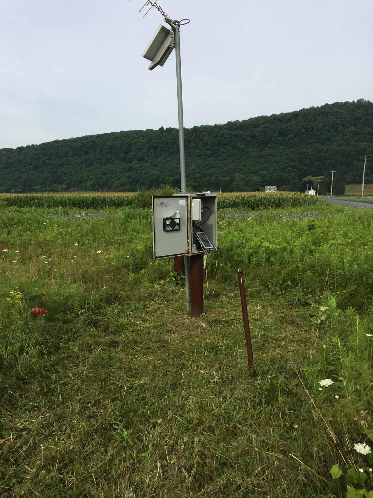 Station image