Warning: Javascript must be enabled to use all the features on this page!


Page Loading - Please Wait...

* We've detected you're using a mobile device. Find our Next Generation Station Page here.
Click to hideNews Bulletins

USGS 01037050 Penobscot River at Bangor, Maine

PROVISIONAL DATA SUBJECT TO REVISION

Click to hidestation-specific text
Station operated in cooperation with the City of Bangor.
Gage height data are measured down from the bridge deck and not using historical methods from the water pressure above a defined point in the river. Therefore, water level data will read higher when ice is present on the water surface.

Period of Record - Gage Height: December 2009 to current year.

The National Weather Service flood stage for this site is 11.6 ft. (Forecast)

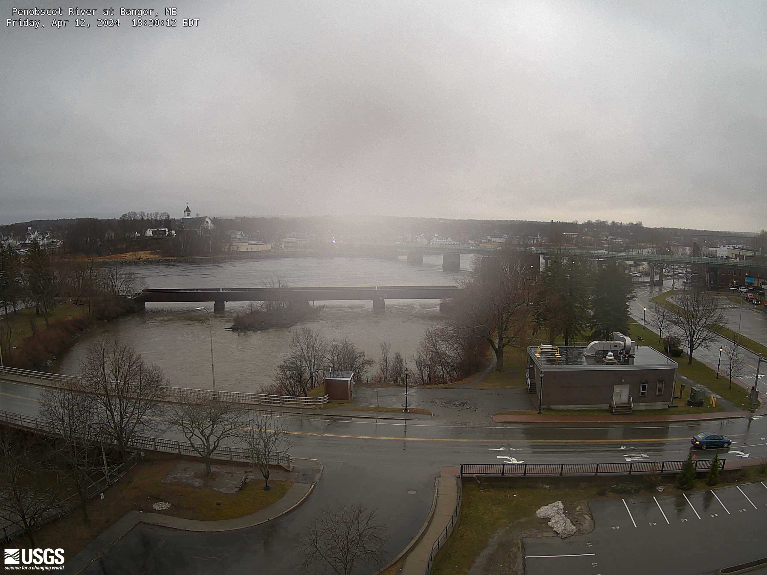
Recent image of the Penobscot River at Bangor, Maine
Press the 'Reload' or 'Refresh' button on your browser to view the most recent image.
(NOTE: Image time stamp should be within 20 minutes of the current time.)


Image Archive - Archive of images.

Available Parameters Period of Record
  
2012-09-30  2024-12-21
2009-12-17  2012-09-29


 (365)
 

  -- or --


Summary of all available data for this site
Instantaneous-data availability statement


Gage height, feet


Graph of DAILY Gage height, feet

Add up to 2 more sites and replot for "Gage height, feet"

?


Create presentation-quality graph.