LOCATION.--Lat 43°01'37.0", long
75°06'15.5" referenced to North American Datum of
1983, Herkimer County, NY, Hydrologic Unit 02020004, on right
bank at downstream side of bridge on State Highway 171, 2.3 mi
southwest of Main Street in Frankfort, and 2.8 mi upstream from
mouth.
DRAINAGE AREA.--18.2 mi².
PERIOD OF RECORD.--October 2014 to current year.
REVISIONS HISTORY.--Discharge for the period Feb. 16-19,
2022, was revised on Mar. 7, 2023, based on changes to
estimated discharge. Gage height and discharge for the
period Dec. 18, 2024, to Dec. 20, 2024, were revised on Mar.
24, 2025, based on deletion of erroneous gage height
data.
GAGE.--Water-stage recorder and crest-stage gage. Datum
of gage is 592.00 ft above NAVD of 1988.
REMARKS.--Water Years 2015-24: Records fair except those
for estimated daily discharges, which are poor.
EXTREMES FOR PERIOD OF RECORD.--Maximum discharge, 2,700
ft³/s, July 1, 2017, gage height, 7.01 ft, from rating
curve extended above 600 ft³/s on basis of step-backwater
analysis; minimum discharge, 3.3 ft³/s, Aug. 9, 2016; minimum
gage height, 1.70 ft, Aug. 9 and several days during
September 2016.
EXTREMES OUTSIDE PERIOD OF RECORD.--Flood of Sept. 10,
1950, reached a discharge of 2,640 ft³/s, by computation of
contracted-opening measurement at site 2.6 mi downstream
(drainage area, 20.0 mi²).
 Site Information
 WaterAlert – get an
email or text (SMS) alert based on your chosen threshold.
WaterAlert – get an
email or text (SMS) alert based on your chosen threshold.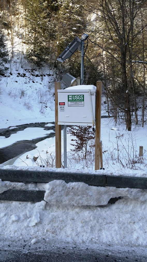 Station image