LOCATION.--Lat 41°50'44.0", long
74°32'09.9" referenced to North American Datum of
1983, Sullivan County, NY, Hydrologic Unit 02020007, on right
bank at Neversink Reservoir Diversion channel, 600 ft
downstream from Chestnut Creek at Grahamsville (station
01365500), 1,900 ft upstream from Chestnut Creek at mouth at
Grahamsville (station 01365550), and 2,900 ft upstream from
Rondout Reservoir, at Grahamsville.
PERIOD OF RECORD.--September 2018 to current year.
GAGE.--There is no gage. Discharge is calculated based
on records for Chestnut Creek at Grahamsville (station
01365500), Chestnut Creek at mouth at Grahamsville (station
01365550), and estimated flow contribution of the intervening
area between those gages.
REMARKS.--Flow completely regulated by Neversink
Reservoir (station 01435900). Water Years 2018-24: Records
poor.
EXTREMES FOR PERIOD OF RECORD.--Maximum daily discharge,
about 835 ft³/s, Sept. 25, 2021; minimum daily discharge,
no flow on many days.
 Site Information
 WaterAlert – get an
email or text (SMS) alert based on your chosen threshold.
WaterAlert – get an
email or text (SMS) alert based on your chosen threshold.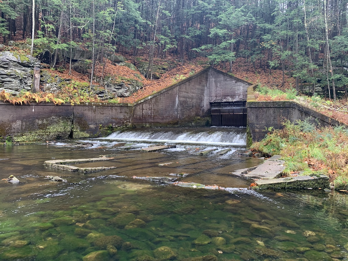 Station image