Warning: Javascript must be enabled to use all the features on this page!


Page Loading - Please Wait...

Click to hideNews Bulletins
! Daily data pages will be decommissioned in early 2026. Daily data are now available in WDFN.
Please find the modernized pages in WDFN that suit you best. Learn more about our modernization plans and timeline.

USGS 01470761 Maiden Creek at Berkley, PA

PROVISIONAL DATA SUBJECT TO REVISION

Click to hidestation-specific text
Funding for this site is provided by:


Station gage imageSTATION.--01470761 MAIDEN CREEK AT BERKLEY, PA
LOCATION.--Lat 40`25'43", long 75`56'23", Berks County, Hydrologic Unit, 02040203, on left bank, 0.65 miles upstream from mouth, 2.25 miles downstream from Lake Ontelaunee.
DRAINAGE AREA.--194 square miles.
PERIOD OF RECORD.--March 2020 to current year.
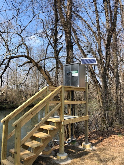
GAGE.--Water-stage recorder and crest-stage gage. Datum of gage is 277 ft NAVD88. Satellite telemetry at station.
COOPERATION.--Station established and maintained by the U.S. Geological Survey. Funding for the operation of this station is provided by the Reading Area Water Authority.
REMARKS.--Flow regulated by Lake Ontelaunee. Diversions from nearby quarry.
GAGE HEIGHTS OF IMPORTANCE.--
Supplied by USGS.-- Data transmitter operational limit: (low) 4.37 ft, (high) 21.1 ft.
This station managed by the PAWSC New Cumberland Office.

Available Parameters Period of Record
  
2020-03-14  2025-12-25


 (365)
 

  -- or --


Summary of all available data for this site
Instantaneous-data availability statement


Discharge, cubic feet per second


Graph of DAILY Discharge, cubic feet per second

Add up to 2 more sites and replot for "Discharge, cubic feet per second"

?


Create presentation-quality graph.