Warning: Javascript must be enabled to use all the features on this page!


Page Loading - Please Wait...

* We've detected you're using a mobile device. Find our Next Generation Station Page here.
Click to hideNews Bulletins

USGS 01483165 SPRING MILL BRANCH NEAR ARMSTRONG, DE

PROVISIONAL DATA SUBJECT TO REVISION

Click to hidestation-specific text
LOCATION.--Lat 39°29'05.4", long 75°41'46.8", New Castle County, Hydrologic Unit 02040205,
   on left bank just downstream from bridge on Cedar Lane (Road No. 427), 0.7 mi upstream from Shallcross Lake, 
   and 1.2 mi northeast of Armstrong.
DRAINAGE AREA.--1.79 mi2x2.
PERIOD OF RECORD.--Occasion low-flow measurements, water years, 1978-1980. October 2000 to September 2004. 
   April 2012 to June 2014 (discontinued). Previously published as Drawyer Creek Tributary near Armstrong. 
GAGE.--Water-stage recorder. Datum of gage is 13.70 ft above North American Vertical Datum of 1988.
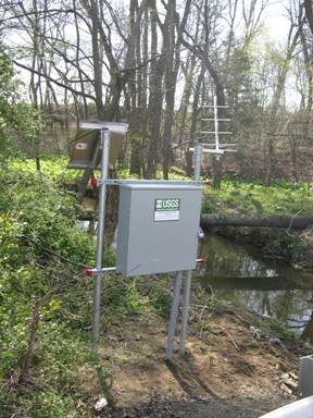
REMARKS.--U.S. Gelogical Survey satellite data-collection platform at station.
COOPERATION.--Funding for this station is provided by the Delaware Geological Survey, and the U.S Geological Survey.
This station managed by the MD-DE-DC Water Science Center Dover office.

Available Parameters Period of Record
  
2000-10-01  2014-06-30


 (365)
 

  -- or --


Summary of all available data for this site
Instantaneous-data availability statement
*** There are no data available on the Waterdata system for the time period specified,
    although data may be available in the files of the local USGS office operating the station.