LOCATION.--Lat 38°23'20.0", long 75°19'28.0", Worcester County, MD, Hydrologic Unit 02080111,
on right bank at downstream side of bridge on State Highway 346, 0.6 mi upstream from Burnt Mill
Branch, 1.3 mi east of Willards, 1.3 mi west of Whaleysville, and 50.3 mi upstream from mouth.
DRAINAGE AREA.--60.5 mi2.
PERIOD OF RECORD.--December 1949 to September 2004, October 2006 to current year.
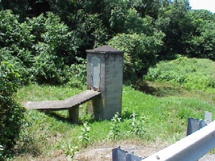
GAGE.--Water-stage recorder and crest-stage gage. Datum of gage is 13.15 ft above North American
Vertical Datum of 1988.
REMARKS.--Water-quality records for some prior periods have been collected at this location. U.S.
Geological Survey satellite data-collection platform at station.
EXTREMES FOR PERIOD OF RECORD.--Maximum discharge, 2,820 ft3/s, Aug. 20, 1989,
gage height, 15.41 ft; minimum discharge, 0.93 ft3/s, Aug. 22, 2002.
COOPERATION.--Funding for the operation of this station is provided by the Maryland Geological Survey,
and the U.S. Geological Survey.
