 LOCATION.--Lat
39°22'46.5", long 76°29'44.9", Baltimore County, MD,
Hydrologic Unit 02060003, on right bank 200 ft downstream from Route 43
bridge, 1.0 mi west of White Marsh, and 5.0 mi upstream from
mouth.
LOCATION.--Lat
39°22'46.5", long 76°29'44.9", Baltimore County, MD,
Hydrologic Unit 02060003, on right bank 200 ft downstream from Route 43
bridge, 1.0 mi west of White Marsh, and 5.0 mi upstream from
mouth.
DRAINAGE AREA.--2.73 mi2.
PERIOD OF RECORD.--January 1995 to current year.
REVISIONS HISTORY.--WDR-US-2008: 1995-2007.
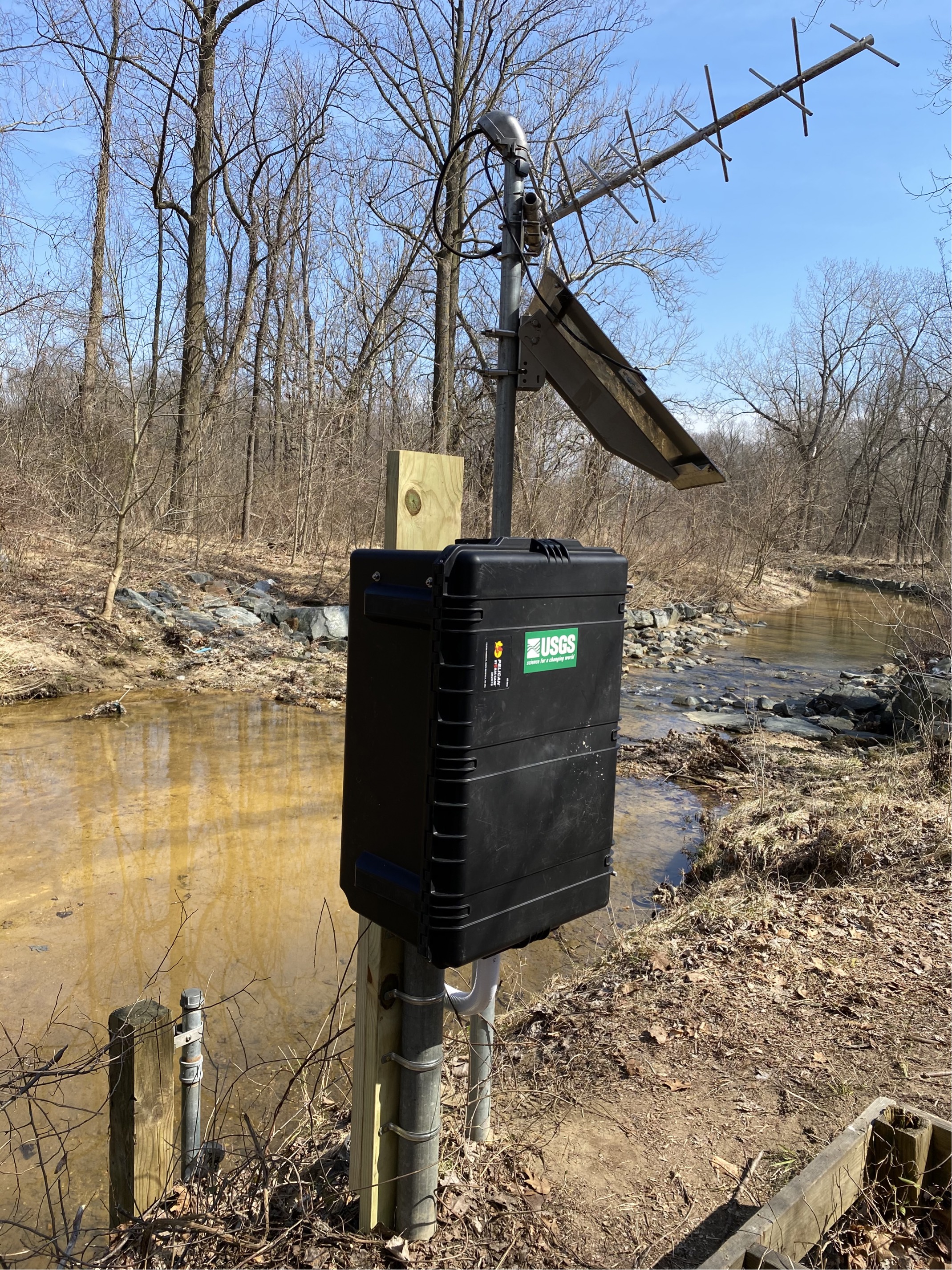
GAGE.--Water-stage recorder and crest-stage gage. Datum of gage
is 118.73 ft above North American Vertical Datum of 1988.
REMARKS.--U.S. Geological Survey satellite data-collection
platform at station.
EXTREMES FOR PERIOD OF RECORD.--Maximum discharge, 3,850
ft3/s, July 24, 2020, gage height, 8.22 ft; minimum
discharge, 0.0 ft3/s, no flow at times in 1995, 2002, and
2007.
COOPERATION.--Funding for the operation of this station is
provided by the Baltimore County Department of Environmental Protection
& Sustainability, and the U.S. Geological Survey.
This station managed by the MD-DE-DC Water Science Center Baltimore office.
Summary of all available data for this site
Instantaneous-data availability statement
