 LOCATION.Lat
39°14'24.0", long 76°41'31.9", Baltimore County, MD,
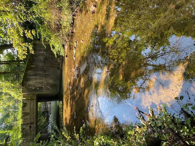
Hydrologic Unit 02060003, on left bank 50 ft upstream from bridge on
Tom Day Boulevard at U.S. Route 1 in Arbutus,
LOCATION.Lat
39°14'24.0", long 76°41'31.9", Baltimore County, MD,
Hydrologic Unit 02060003, on left bank 50 ft upstream from bridge on
Tom Day Boulevard at U.S. Route 1 in Arbutus,
0.5 mi upstream from mouth, and 2 mi south of Baltimore City
limits.
DRAINAGE AREA.--2.47 mi2.
PERIOD OF RECORD.--August 1957 to September 1989, October 1998
to current year.
REVISIONS HISTORY.--WDR MD-DE-81: 1979.
https://waterdata.usgs.gov/nwis/dv?site_no=01589100:
2013-2014.
GAGE.--Water-stage recorder, V-notch sharp crested weir and
crest-stage gage. Datum of gage is 40.17 ft above North American
Vertical Datum of 1988. Prior to August 1981, at site 100 ft
downstream at same gage datum.
REMARKS.--U.S. Geological Survey satellite data-collection
platform at station. Slight regulation at low flow from unknown source
upstream from station.
EXTREMES FOR PERIOD OF RECORD.--Maximum discharge, 2,460 ft³/s,
Sept. 6, 1979, gage height, 6.80 ft, at previous site; maximum gage
height, 13.70 ft, Sept. 6, 1979, from floodmarks
at current location; minimum discharge, 0.15 ft³/s, Sept. 16, 25,
2016.
COOPERATION.--Funding for the operation of this station is
provided by the Baltimore County Department of Environmental Protection
& Sustainability, and the U.S. Geological Survey.
This station managed by the MD-DE-DC Water Science Center Baltimore office.
Summary of all available data for this site
Instantaneous-data availability statement
