Warning: Javascript must be enabled to use all the features on this page!


Page Loading - Please Wait...

Click to hideNews Bulletins
! Daily data pages will be decommissioned in early 2026. Daily data are now available in WDFN.
Please find the modernized pages in WDFN that suit you best. Learn more about our modernization plans and timeline.

USGS 01644148 POTOMAC RIVER AT EDWARDS FERRY NEAR POOLESVILLE,MD

PROVISIONAL DATA SUBJECT TO REVISION

Click to hidestation-specific text
Click for larger image LOCATION.--Lat 39°05'55.1", long 77°28'16.5", Montgomery County, MD, Hydrologic Unit 02070008, on left bank in the wooded flood plain adjacent to the C&O Canal path, approximately 1000 ft downstream of Goose Creek.
DRAINAGE AREA.--11,130 mi2.
PERIOD OF RECORD.--August 2011 to current year.
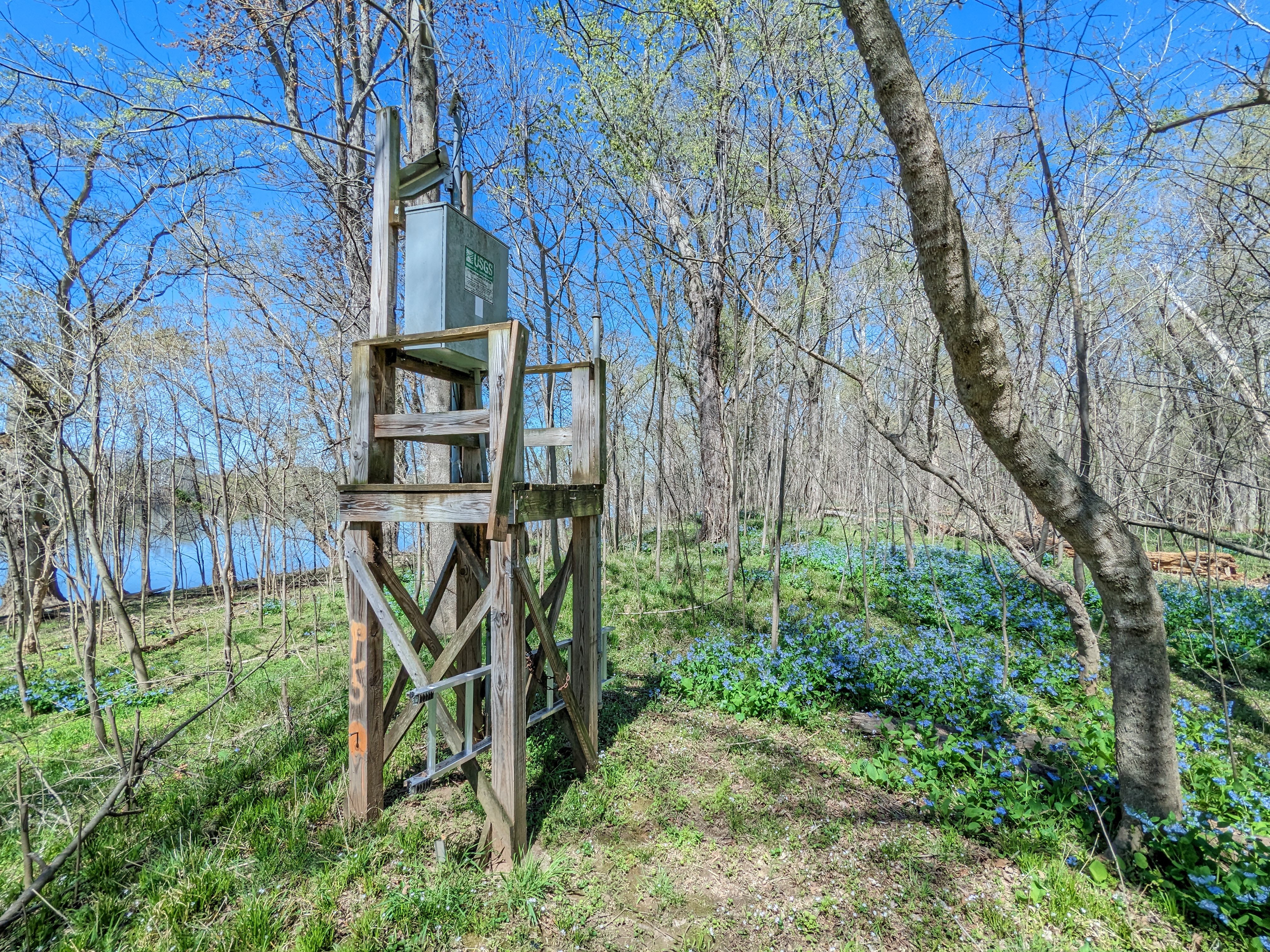
GAGE.--Water-stage recorder and crest-stage gage. Datum of gage is 178.70 ft above North American Vertical Datum of 1988.
REMARKS.--This is a stage-only station. Discharge is not determined at this location. U.S. Geological Survey satellite data-collection platform at station.
EXTREMES FOR PERIOD OF RECORD.--Maximum elevation, 22.45 ft, June 4, 2018; minimum elevation, 2.65 ft, Aug. 9, 2021.
COOPERATION.--Funding for the operation of this station is provided by the Interstate Commission on the Potomac River Basin (ICPRB), and the U.S. Geological Survey.
This station managed by the MD-DE-DC Water Science Center Frostburg office.

Available Parameters Period of Record
  
2011-08-24  2025-12-24


 (365)
 

  -- or --


Summary of all available data for this site
Instantaneous-data availability statement


Gage height, feet


Graph of DAILY Gage height, feet

Add up to 2 more sites and replot for "Gage height, feet"

?


Create presentation-quality graph.