LOCATION.--Lat 42°19'41.8", long
76°50'38.1" referenced to North American Datum of
1983, Schuyler County, NY, Hydrologic Unit 04140201, on right
bank at downstream side of bridge on South
Genesee Street, 0.4 mi south of village line of Montour Falls,
and 0.6 mi upstream from diversion channel.
DRAINAGE AREA.--39.4 mi².
PERIOD OF RECORD.--Low-flow partial record--1955-62,
1964-66, 1970, continuous record--August 1975 to September 1977
(no winter records), March 2019 to current year. Annual maximum
only--1987 to 2018.
REVISIONS HISTORY.--WDR NY-97-3: 1993 (M), 1995-96 (M).
WDR NY-03-3: 2000-02 (M). The maximum discharge for water years
2013-14, 2016-19 and the discharge for the period Mar. 26,
2019, to Sept. 30, 2019, was revised on Aug. 23, 2021, based on
changes to the stage-discharge rating.
GAGE.--Water-stage recorder and crest-stage
gage. Datum of gage is 473.40 ft above NAVD of 1988.
REMARKS.--Water Years 2019-24: Records good except those
for estimated daily discharges, which are poor.
EXTREMES FOR PERIOD OF RECORD.--Maximum discharge, about
4,700 ft³/s, Nov. 8, 1996, gage height, 8.48 ft; minimum daily
discharge, 3.9 ft³/s, Sept. 17, 2020; minimum gage height, 1.93
ft, July 29, Sept. 8, 1976.
 Site Information
 WaterAlert – get an
email or text (SMS) alert based on your chosen threshold.
WaterAlert – get an
email or text (SMS) alert based on your chosen threshold.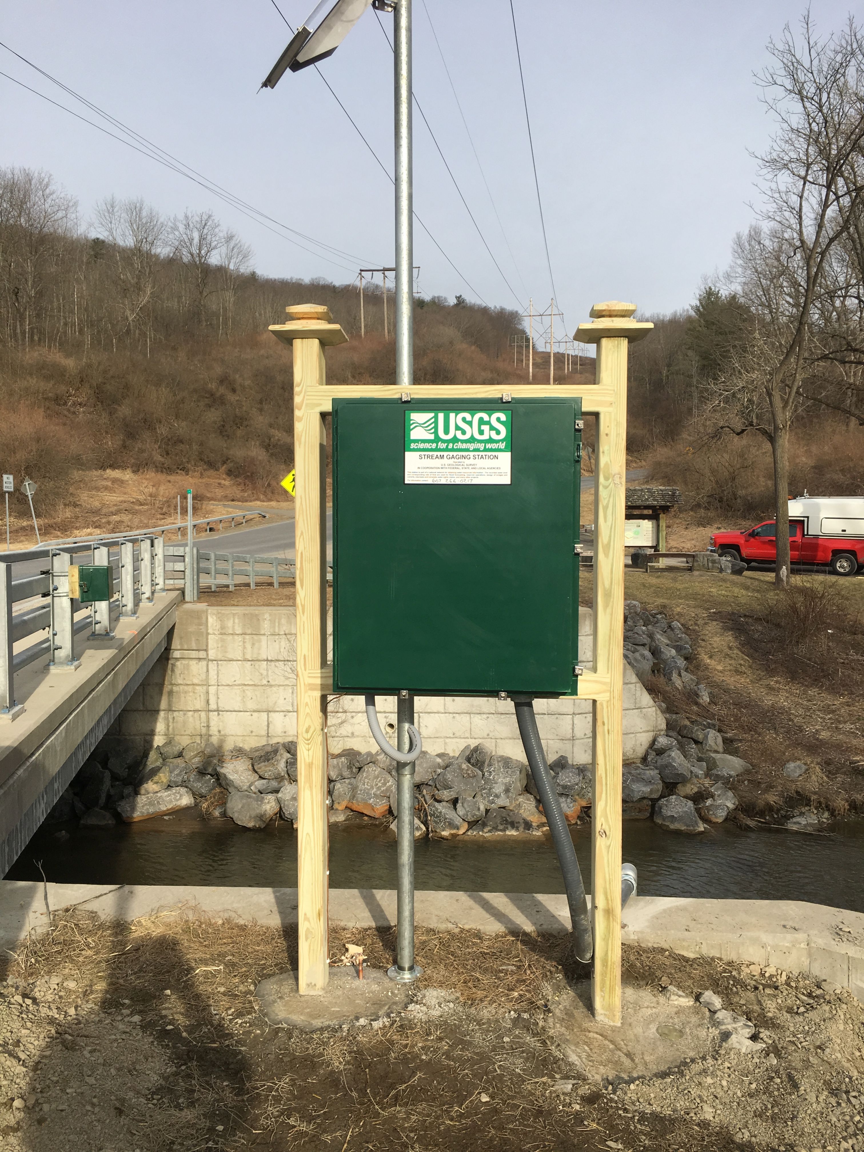 Station image