LOCATION.--Lat 43°00'53.6", long
76°28'20.1" referenced to North American Datum of
1983, Onondaga County, NY, Hydrologic Unit 04140201, on left
bank downstream from bridge on Chatfield Road in Skaneateles
Junction.
DRAINAGE AREA.--85.9 mi².
PERIOD OF RECORD.--October 2014 to current year.
GAGE.--Water stage recorder. Datum of gage is 561.37 ft
above NAVD of 1988.
REMARKS.--Flow regulated by dam 6.2 miles upstream,
operated by City of Syracuse, Department of Water.
Water Years 2015-24: Records good except those for estimated
daily discharges, which are fair.
EXTREMES FOR PERIOD OF RECORD.--Maximum
discharge, 1,400 ft³/s, Aug. 19, 2021, gage height,
5.43 ft; minimum discharge, 3.14 ft³/s, Aug. 9, 2021,
gage height 1.48 ft.
 Site Information
 WaterAlert – get an
email or text (SMS) alert based on your chosen threshold.
WaterAlert – get an
email or text (SMS) alert based on your chosen threshold.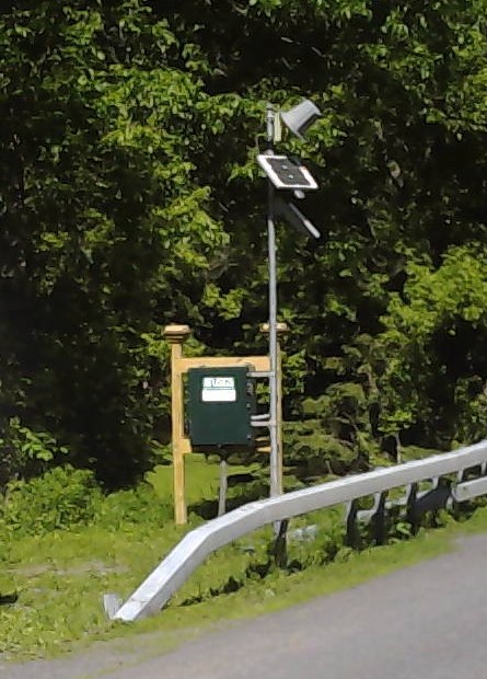 Station image